It’s ON! Sailing started.

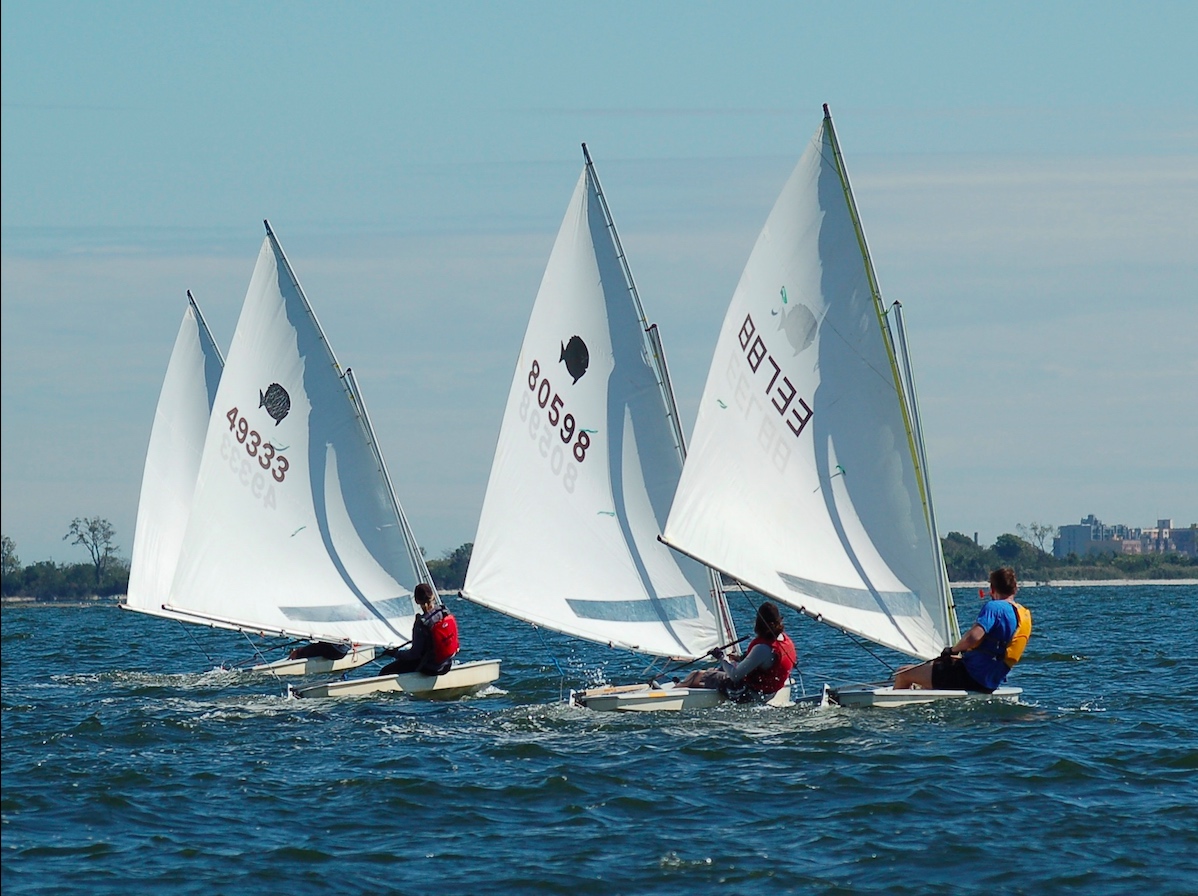
Learn to sail, ASA 101 + 102, began on March 16 and 17, the earliest we started teaching people how to sail a boat.

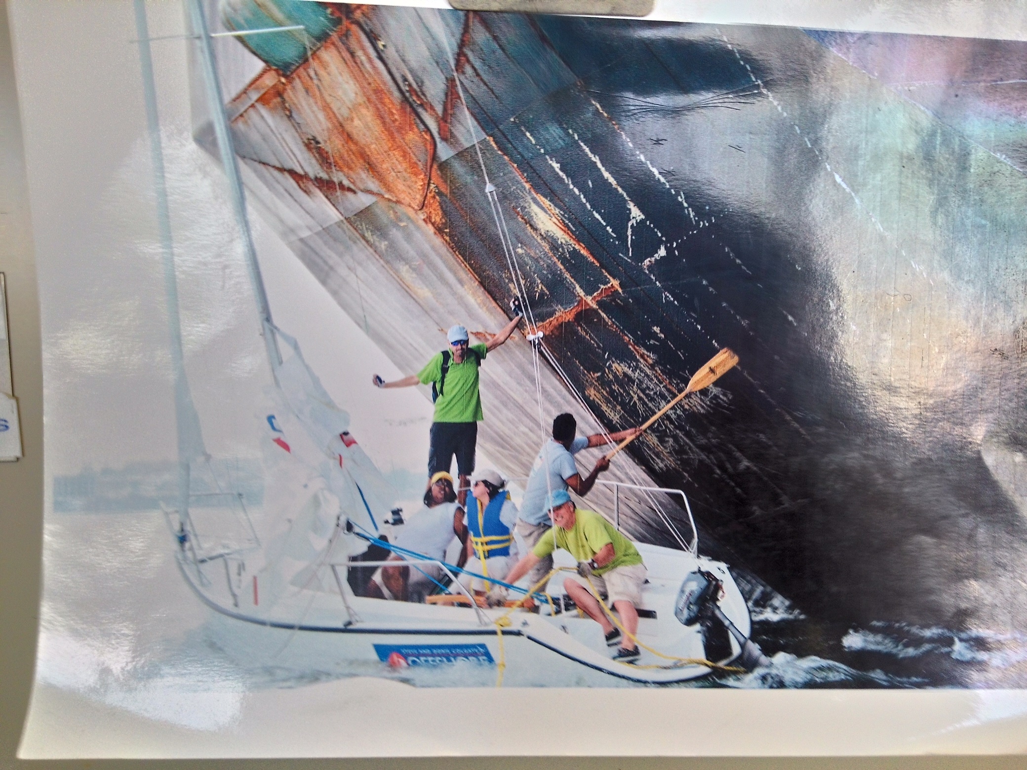
We didn’t plan it that way. Hard to plan at all with early-season weather. But, sailing happened this past weekend. We got a solid full day on Saturday, and half a day of sailing on Sunday before the light winds turned very quickly (as predicted) into Victory at Sea conditions, as we say. Students got a taste of strong, fast gusts and learned that while it can be stressful when learning, the boat didn’t care and the instructor had a few whoo-HOO moments!

Why then didn’t we plan it? The early shoulder season is tempting, but way too unpredictable and volatile. My father’s school always started in April. It was ‘spicy’ sometimes. When I started my own school decades later, I began courses in mid April. It worked… until it didn’t. Too many weather delays.

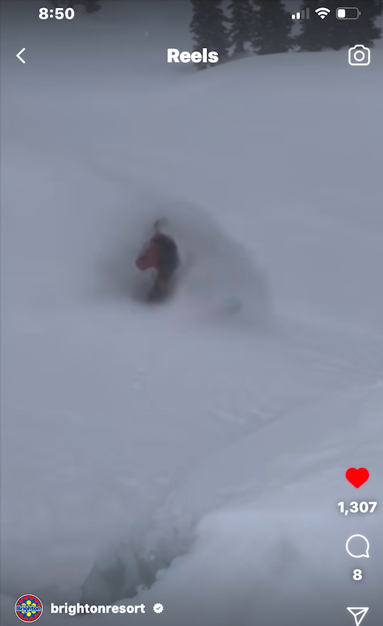
So, I switched it around. We would start with advanced courses in April, and learn to sail in early May. The first season I tried, it, we lost the first scheduled weekend of Bareboat Cruising to a storm. It was forecast to blow stink and chuck buckets on the first day, and simply be way to windy the second. I headed up to Vermont on Thursday night and was snowboarding a foot of powder the next morning at Killington instead. The predicted conditions down in the Sound prevailed. No one sailed.

IN THAT PIC: happy camper, as they all seem to be. Day One of the first course of the season.

The next season, we scheduled more conservatively. Nothing in April. Learn-to-sail began in early May. For Memorial Day Weekend, weather isn’t always perfect but it’s traditionally reliable for classes. So, we scheduled three of them: two boats of students for 101 / learn-to-sail, and one for Bareboat Cruising (3rd level, 104, and don’t get me started on that math but you may do so yourself in this Blog Rant).

How did that work out? The first two days were unsailable due to a nasty nor’easter, something we’d never experienced that late in the spring. We got one day in out of three. That set off complications with rescheduling, as the rest of the late spring/early summer was pretty shitty as well. Welcome to climate change!

So it goes…

Kurt Vonnegut

So, what made me think it was even a remotely good idea to start classes in MARCH!?

We’ve occasionally done a private lesson, usually for a group of 2 or 3 students coming together, in the ‘pre-season.’ It’s always a case by case, last-minute thing. In this case, we’d had a mild winter in the northeast. Nothing had changed. One couple, plus several different individuals, were interested in starting in March/April for various reasons. The couple is going on a private Virgin Islands (BVI) trip with us in late April, and another man needed to knock out his 101 if he were to join a relative doing a 103 course in May in another region.

Everyone understood there were no promises about when we’d complete the course if we started – only that we would complete it. Everyone was free last weekend. The weather looked reasonable, if not great, for beginning. All three had some exposure to sailing, and one was quite experienced and mostly bringing his wife up to speed with him so they could do 103 together with us in BVI.

And so, a schedule was born.

IN THAT PIC: Ensign sloops lined up waiting to splash at Miramar Yacht Club, our host facility. This is the boat we teach 101 & 102 on.

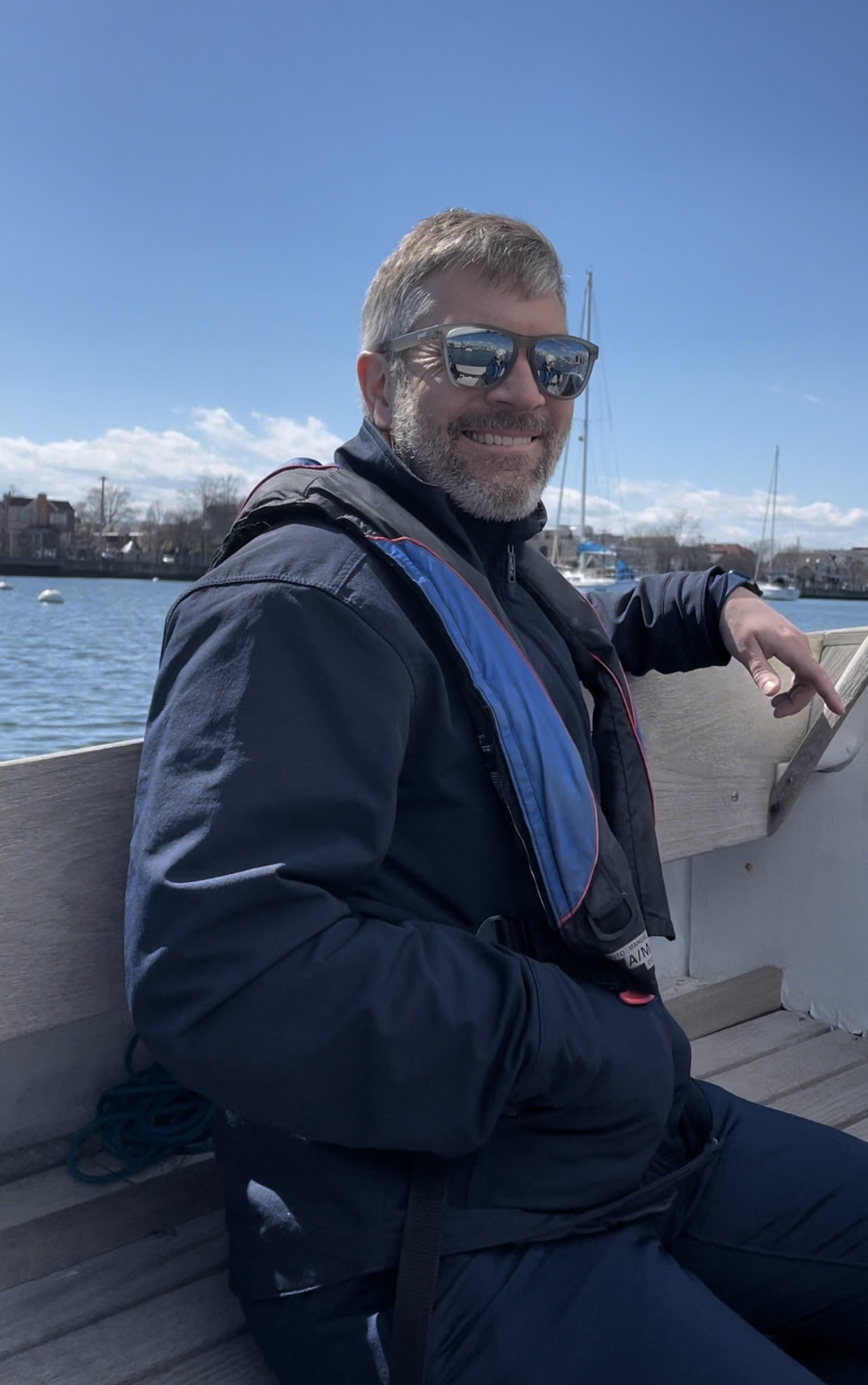
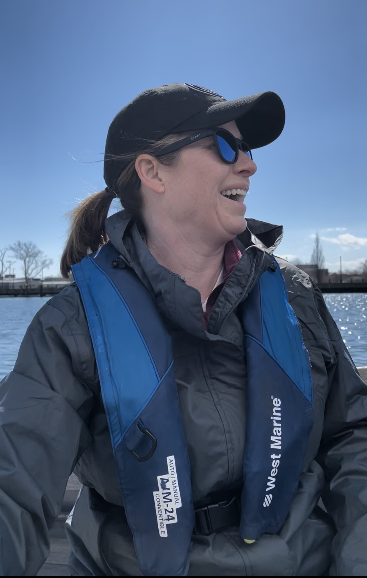
Both days were beautiful with partially cloudy skies and plenty of sun. It was cool out, getting chilly on Saturday afternoon, but that was due to a summer phenomenon: the afternoon sea breeze! Sunday was almost too light to sail at first, but by the time we got sorted and on the boat, it was enough to sail and practice meaningfully. As it was forecast to intensify rapidly at some point, we kept an eye on the updates and stayed close as it got closer to ‘oh, no!’ time. That happened when we were already just about in, and only had to negotiate a few moored boats en route to our own mooring.

They got to experience some strong, wicked-fast gusts that they would have had no business being out in without an instructor (and without the first day’s training). They had both, so they got to try it out. I had to sail the boat onto the mooring, but they got to fool around with steering and sail trim before that.

Two days with good sailing in March, even though one was only half, was a great start. Next weekend is out due to another nor’easter! Who knows what the following will bring, but there’s the first half of April and the weekdays in between it all to finish up. And then it’s off to the races. Or cruises. But the foundation will have been laid.

IN THAT PIC: copy-camper from same day (and family).

It’s Always Sunny in Brighton Beach!

Until it isn’t… or is that Brighton, Utah? The weather has been wild all over, but we’re starting to teach people how to sail in Brooklyn and ignoring the powder out yonder.

We started on April 4, did a few lessons, resume this week with a private on Wednesday, and take a break for our Virgin Islands Sailing Vacay (BVI). After that, our first full Start Sailing course of the season kicks off on May 6.

IN THAT PIC: sunny day for sailing some Sunnies! Sunfish class dinghies racing on Jamaica Bay, near New York Sailing Center’s home base on the other side of the Marine Parkway Bridge. Posted on behalf of the Sebago Canoe Club on the Facebook group Sailors of New York.

The little guys above are Sunnies! That’s a nickname for Sunfish, one of the world’s most well-know sailboat classes. There are a ridiculous number of them worldwide accumulating since they were born in… 1947!!! I most certainly did NOT know they went back that far. By the time the Sunfish turned 50, there were over 300,000 of them. They’re a competitive racing class with well attended world championships. I’ve sailed them once or twice, along with the similar Sailfish.

That shot was posted to promote the Sebago Canoe Club‘s spring regatta, which involves Sunnies and Lasers (which I’ve raced extensively). Sebago is in Jamaica Bay, a short ride away from our Sheepshead Bay location at Miramar Yacht Club. Like Miramar, Sebago is a cooperative and all members give service to the club to help run it and keep costs down.

So, the Sunnies will be out in force. How about us?

IN THAT PIC: seagull preparing to take off as we sail near Brighton Beach, Brooklyn. The fog in the background appeared to emanate from the Coney Island Amusement Park and extend all the way out over the Atlantic (out of the frame to the left).

We’ve been sailing off Brighton Beach. That’s next to Manhattan Beach. But… it’s not in Manhattan. We don’t do Manhattan for sailing. Brighton is on Coney Island, facing south toward the Atlantic, and almost there. Directly across Rockaway Inlet is Breezy Point. If Montauk is “The End,” as the bumper stickers say, Breezy is the beginning. It’s the very start of continental Long Island, and where New York Bay meets the Atlantic.

Brighton was a bit cloudy and more than a bit foggy the last time we were out. It happens. There was enough wind to sail after being almost becalmed briefly. That’s super rare here. Remember… Breezy. The area has its own micro climate, with fair weather far more often than foul. Last season, we did five full learn to sail schedules there, spread out over the whole summer and early fall. We also did numerous private lessons. How many times did we cancel due to thunderstorms? Zero. Not so with our old digs at City Island. “It’s (almost) always sunny at Breezy and Brighton.”

How about Brighton, Utah? Still snowing!!! They just got some more, and have little more on the way. As of this writing, they’re still 100% open. Every. Single. Trail. And, all the glades. 65 big runs, at the little big mountain in Big Cottonwood Canyon.

IN THAT PIC: yesterday, April 23, at Brighton Resort, Utah. Fully open, and still snowing. They, like all their neighbors in the Wasatch Range and a number of other resorts out west, broke their all-time recorded snowfall records. Brighton? Approaching 900 inches this season! This is a screenshot from their Insta.

Who cares? Anyone interested in both sailing and snowsports; anyone concerned about climate change. The Wild Winter that Was out West broke many records. We might not be glad that it did. Add in the drought we had on the East Coast this winter, and the spring tornados that have wrought havoc on the southeast, and who knows what to expect going forward.

Down around Breezy and Sheepshead Bay, for at least the foreseeable future, we can count on afternoon sea breezes most days, with virtually no risk of thunderstorms. It is known. We’ll take it, and take our chances with what happens when the next winter comes.

VIDEO CLIP:

IN THAT CLIP: my new riding buddy Jack spraying me on his way down a double- diamond bowl with a few trees mixed in. Powder day, Brighton Resort, early March. Click pic to play video on Insta!

In Full Spring

Our season for teaching people how to sail a boat, or get better at it, is underway.

Actually, it began on April 4, one of our earlier outings! We started off conservatively with a private lesson for an experienced student who has a new boat arriving soon. He’s been a regular private lesson client for awhile, and has come down to our new location in Sheepshead Bay a few times now despite plans to keep his boat on the Sound.

Due to the vagaries of spring weather, as exacerbated by global warming and climate change, we stopped our long standing tradition of kicking off learn to sail courses in mid April. Now, it’s early May, with an occasional advanced course starting earlier as well as private lessons.

CLICK TO PLAY! Insta clip from our first lesson of the season.

Next up after that lesson: I brought our Carolina Skiff down from City Island. I ran it down the East River, which is not necessarily for the faint of heart, and then NY Harbor (even less so) before getting through the Verrazzano Narrows and on to Rockaway Inlet and Sheepshead Bay. I knew I needed to not only time the current properly, but also the weather. Our skiff is very open, so spray can be an issue. It’s also more flat bottomed than deep-vee’d, so it has serious limits to how much of a pounding it can take in chop. That said, it’s super stable and can handle rolling/yawing extremely well.

I settled on a Sunday with a forecast for very light north winds, switching to light from the southwest late in the day. If all went well, I’d have a gentle wind at my back on the way down and no worse than a gentle one from on one side toward the end of the trip. The slack current at Hell Gate was predicted for exactly noon, and I love the ‘high noon’ thing. I assumed a 10-knot average speed, and based on the distance, figured it would take 2.5 hours non stop. Of course, I’d stop for various reasons a number of times, including potentially for a fuel top-off, so guesstimated 4 hours dock to dock.

CLICK TO PLAY! Insta clip of my run down to Sheepshead Bay from City Island, and then an orientation sail with new instructors the next day.

It was a milk run. Sunny most of the way to take the edge off the chill; flat calm due to light winds. There were occasional wakes, but I barely reacted to most of them and none were dramatic. I almost skipped the fuel stop, but heeded the advice of one our instructors who’s and ASA Instructor Evaluator, and super knowledgeable and experienced in that area. “You’re right there – how long a detour is it? 30 minutes? Just do it.” He was speaking from both experience and common sense. Most very experienced boaters have, at some point, had a fuel fiasco.

It was around 30 minutes. I also did numerous very short stops for grabbing a bite to eat, adding clothes, doing something on the phone, or taking pics. Total time dock to dock? 3:08. So, my 2.5 was damn close to exactly right. Score one up for the great navigator! Turns out… I didn’t need the extra fuel, but better to have to add stabilizer to that than wonder if a tow boat service could do a fuel drop half way between Hell Gate and Schitts Creek.

Next? A quick sail with two instructor candidates. Chilly and wet – but fun! See a sample in the clip above.

We did another private lesson for a City Islander soon afterward. She booked weeks in advance and didn’t realize we had moved to Sheepshead Bay! But, she decided to make the trek anyway. Her sister and she had taken lessons together previously, and wanted a better progression at a pace that suited them. They tried, we supplied, and they had nearly perfect conditions that helped that happen. They’ll be back.

IN THAT CLIP: sisters sailing together, per the paragraph above.

We also got out two students who had different backgrounds, but were both in need of a similar lesson. I grouped them and also brought along a new instructor we’re ‘onboarding’ for his second orientation session. We got becalmed just as we entered the Inlet, but then the wind picked up enough to fight the current. Soon, we didn’t need to consider the current.

Full courses begin on May 6, and our first Sailing Vacay Course of the year ends the day before down in the Virgin Islands (BVI). In the meantime, we’ll continue with privates as the weather allows. Spring weather up here is too volatile to plan on multi-day beginner courses for people with busy schedules. Some schools do it anyway and graduate people who haven’t learned to sail. We’ve paid attention to the weather trends and decided to start a little later, so students who Start SailingSM with us can get it done the first time.

IN THAT PIC: fog flowing from Coney Island on the right out over Rockaway inlet, and out past Breezy Point to the Atlantic (out of frame to the left). Bird about to take off for some drama. Foggy but beautiful sail on Sunday, April 16.

Cat got your Rhumb?

Pandemic living has some interesting scenarios for learning how to navigate or sail on Zoom.

“The Cat ate my homework” starts to sound reasonable! While I haven’t heard that (or by dog) from a student in our “Live 105” Coastal Navigation courses on Zoom, I’ve seen some strange stuff. Strange is purely subjective and relative, of course.

No; he didn’t eat the homework. But he got in her way…

First: what’s this course? It’s our Start Navigating course, ASA 105 Coastal Navigation. It has no prerequisites, and no prior navigation experience or training is necessary. (It is helpful to have done some boating or sailing for better perspective, but we assume none of that when we teach you.)

PC (Pre COVID), we taught this in small group settings both in Manhattan and New Rochelle. Last March, we switched to Zoom: the first school doing it, and the only one I can actually verify as doing so. It’s gone quite well! It’s almost as if we’re all in the same room together, and allows people in different locations and time zones to navigate together and make new friends and potential sailing buddies.

Anywho, as most people are doing this from home, we get a glimpse of what home looks, sounds and feels like. That includes critters.

CRITTERS: cats in the two right-hand windows on this Nav Zoom. The couple also has a dog that pops up from time to time.

So far, we haven’t seen the proverbial pirate parrot perched on anyone’s shoulder, or carrying off plotting tools as a prank, but a number of cats and dogs have scored some screen shots.

I host and teach all our Zoom sessions. It comes naturally to me, and is fitting as I wrote the book we use for the course. Why not use the ASA book? That’s a loooong story, but short version: got tired of waiting for them to revise and professionally print their very good old book. Had to write supplements for it for topics covered on exam but not in book, for example. Started drafting my own. Almost done; needed a few final copies for first course of a winter season. They gone went and published an entirely new book by another author rather than revise the old one, and instead of the expensive price going down, it actually went UP further. But wait – there’s more! They also had a separate companion book that wasn’t just practice problems or resources, but also part of the text.

PELORUS CONFUSEUS: cat interfering with deployment of a pelorus, to his right. A pelorus is a sighting and direction measuring tool that’s somewhat antiquated, but also important for understanding how to use radar. So, we demonstrate its use in Start Navigating! ASA’s curriculum chumped out on that and dropped it. We didn’t.

But wait – there’s MORE!!! There was also a companion DVD . Took a look at that for about 30 seconds, couldn’t take it any more. Tossed it like a frisbee for the cat who pounced on it. Never saw it again. (Ultimately, after breaking their own arm patting themselves on the back for this rollout, they gone went and did what they said they were originally: revised the OLD one. And, they published that as well, offering both texts. At that point, I’d been using my own for a few years, and have simply tweaked that and never looked back.)

So, cats, and dogs. Here’s one pic in an Instagram post from a live class, PC of course. The pic is a link…

Awwww….. so sad…. This is Jude! He’s a big, clingy baby. This shot is ‘PC,’ so I was working live with a couple in a custom private schedule. it’s one of three in an Instagram post; click pic to see!

My cat attends each Zoom session. He interferes while lounging across the chart, or gets annoyed if he senses I’m paying him no mind and talking to a computer screen that is talking back. Then, he gets very intrusive and has to be escorted out.

This is Buddy! He’s a pain… but can be sweet at times as well. He’s named after an indoor/outdoor cat who came to visit most days one summer by strolling into the Sailing Center’s yard and hanging with us for awhile. Then, he didn’t. That’s cat behavior for you!

Just before our most recent session, I had the chart spread out to review one of the practice plots. Buddy jumped up on it, but it was draped over the side of the coffee table, and he didn’t land cleanly on the table. So, the slash-n-scramble routine ensued. End result: I needed oxygen and the chart looked like this:

BUT WAIT – there’s MORE!… It’s like an actual cartoon, where the Warner Bros’ Looney Tune tears ass through a wall leaving the outline…

I taped up the chart for the class, as I needed one specific plot that’s on it. This seemed like a fun thing to do with the hand-held ‘hockey-puck’ compass at the time.

Pets are optional, of course, for this course. But if you’re managing work, family/kids, or those perpetual 2 year-olds… pets… bring it! It’s all manageable on Zoom.

For more about our “Live 105” sessions on Zoom for Start Navigating, here you go…

Lighting up a Light House

A client of ours is originally from Canada, and two buddies and he did 103 and 104 with us one season before doing their first bareboat charter in the BVI.

Adam’s uncle got involved with a latent lighthouse in Ontario, Canada. He’s on the local preservation committee, and had been trying to get it lit back up. Apparently, it was a somewhat uphill battle as there were concerns about the light shining on shoreside homes at night and being intrusive.  The major’s office was involved and favored the light being back on, so that helped.
Here’s an excerpt from the original Notice to Mariners in 1917 that announced the construction of this light!..
For its return, the compromise was to aim the light across the bay at another peninsula rather than sweep across the shore or just aim 360 all around.  Our mission: confirm the exact bearing, and show/explain why we came up with the magic number.
(Truth be told, Adam was more than capable of doing this himself, having successfully taken and passed 103, 104 and 105 with us and then applied it in the BVI. But this had to come from us as the outside experts.)
Anywho, Adam enlisted us to be the alleged experts to plot the angle of the light and show how we’d done it.

Dividers (nautical drafting compass) set exactly on the two points; protractor triangle was laid carefully against them to be on the correct bearing. Then, triangle was carefully moved to a meridian of longitude to read the bearing in true degrees. This was converted to magnetic so bearings could be taken from either point in real time to confirm.
1. Get the right chart.  Adam took care of this: NOAA #14832, Upper Niagara River, ending in Lake Erie.

2. ID the light in question: “Light House,” on Point Abino.  No characteristics shown as it’s idle.

3. ID the exact spot the new light is supposed to be aimed at: SW corner of the peninsula across the bay at the other end of Crystal Beach.
4. Measure the bearing painstakingly several times with at least two methods and get a consistent answer: 61 degrees magnetic.

There you have it.  And thar she glows…

The light house at Point Abino, Ontario, with its beacon aimed back across the bay.

10 Kayakers versus Ferry, Hudson River. And the winner is…

On August 30th, a group of 10 kayakers was basically run over by a NY Waterway ferry that was backing out of its Manhattan slip into the glare of the sun in the western sky.  Several were injured; two seriously.  It’s all under investigation of course.  Not many other facts have been reported so far and thus it’s hard to piece it all together.

The kayak company involved claims to not have had a collision before in its 20-year operating history.  But the incident does beg some questions…

  • Was the kayak group being reckless, passing close by an active ferry dock?
  • Did the ferry sound a proper signal and post a proper lookout?
  • Are New York Harbor and the Hudson & East Rivers even suitable environments for kayaks and stand-up paddleboards?

There’s been a large increase in kayak and even paddleboard activity around Manhattan recently. It’s cheap, easy access to the water.  But the water moves – fast.  There are strong currents that make real sailboats stand still against the skyline while sailing full tilt.  Then there’s the traffic.

“You have every single marine traffic situation that is known to man, every single day.  You have high speed ferries of different sizes that have different routes, you have pleasure craft, you have ocean liners, you have commercial dredges.  It all exists here.  You see kayak and paddleboard people on the Hudson River with a 3- or 4-knot current at dusk — it’s insane.”

-Captain Frank Crescitelli, fishing charter captain (“Fin Chaser”) based in New York Harbor.  (As quoted in the NY Times article referenced below.)

Meanwhile, back at the ranch (New York Sailing Center’s location on City Island, half the length of Manhattan away from it but light years away as far as the boating and sailing environment), we have the Touring Kayak Club near our moorings.  They launch from their own ramp in City Island Harbor.  Sometimes, I think they stray a bit far from their base, but the traffic conditions are far more manageable and predictable here.  Plus, currents can usually be swum against, so paddling against them is a cinch.

TKC is a private membership club that no one seems to know much about. The last time I checked, they were wait-listed.  At New York Sailing Center, we are planning to introduce kayaking and perhaps boardsailing (“windsurfing”) in 2017.

As for NY Harbor and the Rivers, it’s hard even for non-capsizing sailboats to manage all the logistics and stay safe on, much less enjoy, the waterways.  We keep hearing of collisions and capsizes – yes, capsizes with non-capsizing sailboats!  Why?  They push it.  They fly spinnakers without enough experience, training, or regard for weather.  So, they flip ’em.  And, sometimes sink ’em.  Seriously?  Yup, so just say no to SUP…

“It’s a super-accessible way to get exposure to the waterways, where there is a really undiscovered part of New York City; there’s a mystique to it. But if you’ve never experienced a 40-knot vessel coming at you with a kayak, that’s a problem.”

-Elias Vaisberg, who runs kayak fishing tours out of Staten Island.  (As quoted in NYT article referenced below.)

The quotes above were from the NY Times article about it on August 30 titled “Recreation and Commerce Collide on New York’s Crowded Waterways” by 

“A school has no name…”

…or is it no location?  Or too many, so a school is confused about where it is?

Do two (or three) wrongs make a right (location)?

Wonder what percentage of you get the GoT reference of this post’s title. (If you don’t get GoT, let us know and we’ll bring you up to speed.)

Hint…

GoT final scene
Wings over water – on sailboats and soaring dragons. Final scene of season six finale, Game of Thrones.

WTF am I talking about?  Sailing schools who are geographically challenged and are either so confused they don’t know where they are – or want you to be so you sign up for their school at one of their dubious digs.

Example: a school is named after a geographic location.  An island.  They had to move from that island to a neighboring state.  They still reference teaching at that original island in their blurb on the ASA School’s page. But a girl has to cross a river to get to them.  (oops; there’s another GOT reference…)

Another example: a school has three locations, none far from the others (and all in our state).  One moved across the bay it’s located in.  Map page still shows it where it isn’t.  At least it’s the right bay.   One is entirely new.  It’s listed on the ASA page as being in a particular Bay, where they say the sailing is Great.  But a school is not in this bay.  It is in another, far away, and the sailing is not in this tiny bay.  A school sails in an inlet on an ocean. (And a school cannot hide from that ocean’s swells.)

What do we care?  We like good old fashioned, straight up honest advertising.  Plus, we’re very proud of our location.  It’s extremely accessible from so many places, both by public transit and car.  The area is insanely good for teaching sailing and just enjoying a day sail or a cruise.

Some schools have multiple locations.  Some locations have multiple schools.  Tiny little City Island, barely a mile and a half long, has historically been home to two sailing schools – sometimes just one, and for a time, three.  Plus, it has two college sailing teams.  Both those universities have campuses on Manhattan.  But, they sail out of City Island.  Finally – we have three yacht clubs on the Island and the vast majority of their members’ toys are sailboats.

We have had opportunities to add a satellite location at the “bay on the ocean,” on the Hudson, etc.  We have always declined.  Not worth having a location slightly more convenient to Manhattanites, or to spread ourselves around hoping to capture another demographic, just to take clients’ money and give them a piss-poor education and experience that, if they even learn properly from, they’ll soon outgrow.

A school has an ethic.

America’s Cup and why Sailing the Hudson Still Sucks…

So, the America’s Cup came to New York earlier this season, and it was half empty.

The world’s best sailors and boats – and they couldn’t even get a series off on day one?  They lost half the weekend.  Was it sailable?  Eh….

I was at City Island.  We had a fine time.  But on the Hudson, they had strong enough currents to make it unsailable.  On Sunday, they were sometimes standing still after maneuvers.  Sure, the wind was a little light.  But not THAT light.

This is just one example.  It’s an historical conundrum.  Why do so many people (try to) learn to sail in NY Harbor and the Hudson, when pro sailors can’t figure it out?

  • Perceived proximity
  • Marketing hype
  • The ? factor (as in we just don’t get it)

Don’t take our word for it!  This shot, and the following article excerpts, sum it up nicely.  One of our instructors recently took this picture of a picture.  It was on the wall of another sailing school (down Mid-Atlantic way…)

krunch
Real? Photoshopped? Don’t know… but we know this scene has happened on numerous occasions with several schools in New York Harbor and the Hudson.

And now, back to the America’s Cup from earlier this summer…

Read the following article excerpts, or the whole article via link at bottom, and imagine trying to learn to sail or even enjoy new skills (if even acquired) in NY Harbor and the Hudson.

-from Extreme Sailing to Meet Extreme Conditions on Hudson by Cory Kilgannon (New York Times, May 5, 2016)

nb: we’ve inserted some editorial notes here and there, indented like this.

“Holding a world-class sailing race, part of the America’s Cup series, off Battery Park City may make for spectacular shoreline viewing, but it is not easy for organizers or racers, who may prefer a location farther offshore with easier winds to navigate and little interference from other boat traffic.”

“The race poses daunting logistical challenges. There is the harbor traffic — ferries, tugboats, barges and other large vessels that ply the Hudson — that must be diverted, along with a designated area for the more than 700 personal recreational boats expected to anchor for the event.”

…not to mention Circle Line, the Shark Speedboat Thrill Ride, various large booze cruise boats, etc.

“Then there is the rapid current of the Hudson River as well as effects on the wind by the tall buildings flanking the racecourse, both in Manhattan and on the other side of the river in Jersey City.”

The current is so strong that anyone who’s spent a little time sailing here has had their boat ‘in the groove,’ going full tilt, only to look at the shoreline and see that they’re just standing still.  All boats down there need engines to deal with this and usually get underway and stop under power.  Doesn’t teach how to do it under sail…

The wind sheers and downdrafts created by the buildings are neither pleasant nor productive.

“All of which complicates the task of timing the races to start precisely at 2 p.m. for live coverage of the regatta on Saturday and Sunday.  Races have been held near urban areas before, including in San Francisco and Gothenburg, Sweden, but they have never been staged this close to a downtown area.”

“Organizers have met for months with New York City officials and law enforcement agencies and other parties. Commercial shipping companies have agreed to work around the race times, and a separate lane will be established near the shoreline for ferries and other vessels.”

Sailing school activities (classes, club sails, and races), cruising boats visiting, sailing tours and charters, etc. don’t get this kind of special attention at all and must scurry out of the way of all the commercial traffic – which comes from every direction at once.

“For sailors, a major challenge will be the Hudson’s wind and current conditions. To adapt to the strong tidal current, which during the race will be running south with the outgoing tide, organizers are using heavier anchors and longer chains than usual to secure the race buoys, which are called marks.”

The strong current coupled with light winds wound up killing Saturday. Whole day lost.  (This is supposed to be a competition of the world’s best sailors on fast, high-tech boats capable of speeds over 40 knots.)

“As for the air, the canyon of high-rises in Manhattan’s financial district and in Jersey City could negatively affect the all-important wind that is the sailor’s fuel.”

“For sailors, a major challenge will be the Hudson’s wind and current conditions. To adapt to the strong tidal current, which during the race will be running south with the outgoing tide, organizers are using heavier anchors and longer chains than usual to secure the race buoys, which are called marks.”

“Practice races on Friday will be filmed for use in case conditions on Saturday or Sunday prevent the regatta.”

Welcome to Manhattan, the Mecca of metropolitan Sailing!..   NOT.

Here’s a link to the entire article with a few pics.