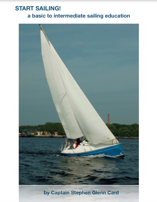
More accurately, I largely re-wrote his textbook on how to sail a boat from the 1970’s but kept the best parts, which inspired the project in the first place.
In a previous Blog Rant, I wrote about how both my Dad and I wrote books for our respective sailing schools. I’d been meaning to resurrect his for awhile, and that post put me over the edge. I gone went and did it!
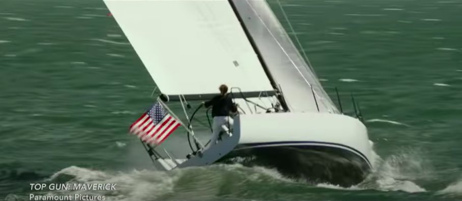
That’s one of our Beneteau First 21.0 sloops flying along upwind, with Teacher John as he’s known on the transom where he’s known to love perching or propelling himself. Yup; that’s a class in progress.
Dad’s textbook, The Masters Course, was brilliant: pithy, funny, effective. Well illustrated. Nothing is perfect; his wasn’t. In fact, a few of the diagrams on piloting and navigation left a lot to be desired. But, these weren’t important to this level of training. I left them out of the new book.
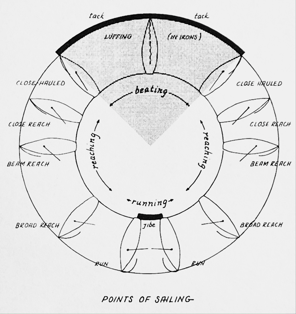
As well as wanting Dad’s book to be resurrected, I also just wanted a better learn to sail book than ASA was putting out. I disagree with some of the content in their book, completely disagree with the order and emphasis of the material, and can’t deal with a defective diagram in it that’s a very important and which is very fucked up. It’s so bad, that after our first day of instruction, we challenge students to figure out “what’s wrong with this picture.” Some do on the spot after pondering briefly, most take a little longer. A few don’t figure it out. But, to a person, once they see it or are told it, they get it. And, they can’t believe it was allowed to go to print that way.
(Not long ago, I found an error in The Annapolis Book of Seamanship by John Rousmaniere. Now, this is perhaps the best single all-around sailing reference available. I highly recommend it to all beginners and intermediates; most advanced (and some pro) sailors can learn at least a little if not a lot from it. I corresponded with John about it; I don’t think he realized the error was there. “After all these decades, you’re the first person to spot this,” he wrote. I see EVERYTHING. It is known.)
Truth be told, Dad’s book had what I consider to be an error in one of the illustrations. But, I left that one out and used many of the good ones! Almost everyone will eventually err in an explanation or illustration. However, when it’s caught, it ought to be corrected.
My book? It started out as Dad’s book redux, but became more mine than his. I did keep parts of his prose intact. I augmented other parts. I deleted some others. And, of course, I wrote several sections from scratch.
Our new book is going out digitally to people as a PDF. That way, it can be easily corrected, but also searched, viewed on any mobile device, and updated easily. Also, instead of putting painful step-by-step photos of knot illustrations, for example, we can have one good reference photo plus a link to quality step-by-step videos! And the book can easily evolve as photos are added, better ones are found, an idea comes to mind for a better explanation or ordering of content, etc. Of course, if anyone prefers, it can be printed.
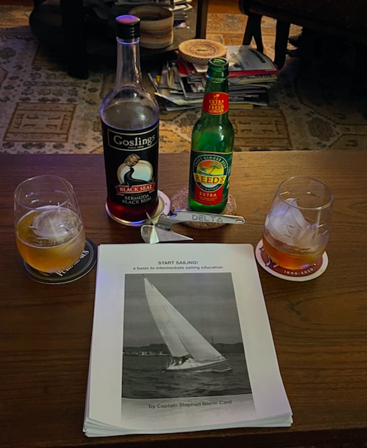
What better way to celebrate writing a book on sailing than with sailor drinks? Dark ‘n Stormy: Reed’s ginger beer, Gosling’s Black Seal rum, oversized ice balls and cubes, and a mini-anchor bottle opener. It’s made by Lewmar, and a replica of their Delta Fast-Set anchor. That anchor is on the bow of most charter boats around the world. Why? It holds best in most seabeds. We’re all about the “why’s” of things.
Yes, I wrote about anchoring in the book. I left the illustrations to others; I explained what one is really trying to do when anchoring, and how to get the job done on the water.
They’re clever at Killington! They’re copying our swagger: the longest sailing season in the northeast where you can learn how to sail a boat or do a rental year round. Almost.
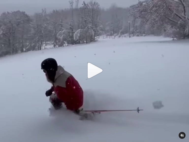
Killington Resort, in Rutland Vermont, has the longest ski/ride season in the Eastern US. The place is pretty large… they call it The Beast (of the East). Lots of acres; lots of lodges & lifts; lots of trails. Decent amount of snow (most in the lower half of Vermont, anyway). And, they throw snow. Big time. As recently as… ? Late March, this time!
And, they just announced that they’re going for a 52-week ski/ride season. Sure, if they want to build one of those indoor snow sliding contraptions. They’re talking about a multi-sport facility at the base of their Superstar lift, which is where the guns don’t stop blowing in the spring until it’s just too warm to make snow. This trail is one of the earliest to get snow blown in the fall, and always the last in the spring. Skiing and riding go on into May in most years, and on rare occasions, into June.
How about sailing, then? Well, we don’t operate much up here in the winter. Too temperamental. But, we often have one or two boats in the water all winter and it’s occasionally available to members. We’re not into frostbiting, or racing once a week in the winter unless it’s just too freaking cold or windy. Or, frozen over. Been there; done that. A long time ago. When I moved next door to a yacht club in Connecticut at one point that did frostbiting, I almost pulled the trigger on getting back into it. Before I could, I decided to take a snowboarding lesson. BAM. Done. I knew I’d never have time to do frostbiting. I snowboard in the winter and I sail in the other seasons. And I’ve been back in the Big Apple for awhile now.
Want to sail with us in the winter? Come along on one of our BVI (Virgin Islands) trips. Otherwise, see you on the slopes!
As for Killington, here’s a link to their YouTube clip with the announcement…
As we get ready for the season, we paint bottoms, replace washers and flange bushing bearings, dry out bilges, wax topsides, check engine fluids and impellers, etc, etc. If you want some experience with that sort of thing, hit us up! Start Bareboating (ASA 104 Bareboat Cruising) kicks off the season, followed by Start Sailing (learn to sail/ASA 101) and Start Cruising (ASA 103, Basic Coastal Cruising). Live 105 Coastal navigation continues on Zoom.
And, of course, Killington is still open with over 100 trails for skiing and snowboarding. Truth.
More about the spate of attacks at Cape Cod and other New England spots over the last decade. No, no sailing or cruising or yacht or such involved here. It’s just something we predicted awhile ago.
A student of ours from quite awhile ago, Tyler Hicks, did the still photography for the article we link to here, coincidentally. We hope he’s kept up with his sailing!
Why am I writing about shark attacks on a Sailing Club/School site? Because I can. This is our Blog Rant section and I do what I want. But, there’s relevance and it’s more than the fact that one of our students took some photos. Everywhere we travel for our destination Sailing Vacation courses, we snorkel and/or swim. And, anywhere people choose to swim, there can be sharks.
First thing to know: it’s safe! True, every year around the world there are a number of shark attacks and a few fatalities. But compared to the number of times humans enter the water each year, it’s a ridiculously rare occurrence for anyone to be bitten, far less killed. Even in the places that statistically have more attacks than others, it’s extremely rare. That’s why people continue to go surfing, snorkeling and diving in those areas. In fact, most people who survive shark attacks (the overwhelming majority do) get back on the horse, so to speak. They go back in the water.
“Just when you thought it was safe to go back in the water…”
the crap they used to hype JAWS 2
Another reason I choose to write about it here is it’s something I know something about. I’ve been fascinated with sharks since I was a little boy. One day, my father took me to the South Street Seaport. When we were done exploring the waterfront and vessels, we ducked into the gift shop. I wound up walkIng out with a book called “Shark: Unpredictable Killer of the Sea.” Author: Thomas Helm. I read it. I watched documentaries. I read other books and articles. I read statistics via the International Shark Attack File. I went fishing… sometimes for sharks. I snorkeled a lot. On rare occasions, I would see a shark.
And, yes – I saw sharks on our trips! They weren’t “man-eaters” on the prowl to eat anything they saw, or tear up hapless swimmers for sport and then spit them out so they could chomp more chumps. They were minding their own business, and had no business with us.
Now, about those great whites on Cape Cod…
They’ve been there for awhile. They started showing up near shore and even in the surf. As the article discusses, the sharks were almost certainly responding to increased stocks of gray seals that were migrating seasonally to the Cape. Fish follow food, as do marine mammals. All this was a sign of a healthy ecosystem that had been recovering from overfishing and pollution. Well before there was any discussion of great white sharks near swimmers and surfers on the Cape, light tackle sport fishing enthusiasts (another hat I’ve worn on and off most of my life) became aware of striped bass and bluefish coming in closer to shore more consistently in the summer and fall on the flats of the Cape, and sight-feeding. One photo in the article shows a great white with a striped bass in its mouth.
When the sharks become public knowledge, and attacks began, a cottage industry sprung up with shark paraphernalia and such. Also, the parks department put someone in charge of trying to ensure some balance of public safety awareness and preparedness on the one hand, and allowing people to continue getting in the water on the other. That’s been evolving, especially after something that I’d predicted for years finally happened: someone was killed by a shark in the Cape Cod surf.
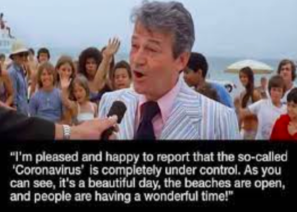
As people were continuing to swim and surf, and the sharks were arriving in more numbers, as well as slowly growing as they returned season after season, it was inevitable. If nothing changes, then inevitably there will be the occasional attack and possibly a fatality. But, what would change? Can’t kill the sharks. Can’t kill their food supply. Can’t stop the sharks from swimming where they will. Can we stop people from going in the water? Cue up the scene from the original Jaws, which became a popular meme during the pandemic:
Some residents in Cape Cod think that locals should be able to decide if and how much to cull the seal and shark population to protect those who play in the water and therefore the economy. Others think that’s ‘playing god.’ My takeaway? I’ve never been attacked by a shark, nor known anyone who has. However, those who survive attacks – and those who survive those taken from us by shark attacks – mostly, if not vastly, side with the sharks. They believe that we’re entering sharks’ territory, at our own slight risk, and that sharks are just doing their thing: going about their simple lives surviving. Therefore, leave them alone.
I happen to agree.
“We’re dressing up like their food, and swimming among their food, and we still hardly ever fool them. People will drive down to the beach while they are texting and then they worry about getting bit by a shark?”
Chris Fischer, founder of the non-profit research organization OCEARCH.
So, what happened on the Cape? I’ll let you read the article as it’s a good one. It covers attacks on the Cape, as well as one along the coast in the Bay and one up in Maine in 2020. Two out of the five encounters were fatal. Strangely, despite referencing “Jaws” appropriately on several occasions, the article doesn’t point out that the book by Peter Benchley and the subsequent movie (and sequels) were inspired by real events. What were they?
“12 Days of Terror,” according to one author. In the summer of 1916, there were five shark attacks in New Jersey in the span of 12 days. All but one were fatal. Three of them happened basically back to back in the same one small body of water, Raritan Creek. The other two, which preceded these, were separate attacks at different beaches along the NJ coast. There’s been a lot of conjecture over the century since those attacks about what happened. However, one fact remains: a juvenile great white shark of around 7.5 feet was caught in Raritan Bay shortly after the last attack, and it had human remains in it’s digestive tract, including some positively identified as belonging to one of the attack victims.
After it was caught, the attacks stopped.
Two of those attacks were likely survivable had proper 1st aid been administered and if infrastructure and logistics existed for rapid transport to a trauma facility. Two were not. The fifth and final attack was when a group of kids swimming were warned that there had been an attack further down the creek, and they all scrambled out. The last boy climbing out was struck on the leg by a shark and badly wounded. It’s not clear whether his leg was amputated to save his life; reports conflict. But, he survived.
What about drones?
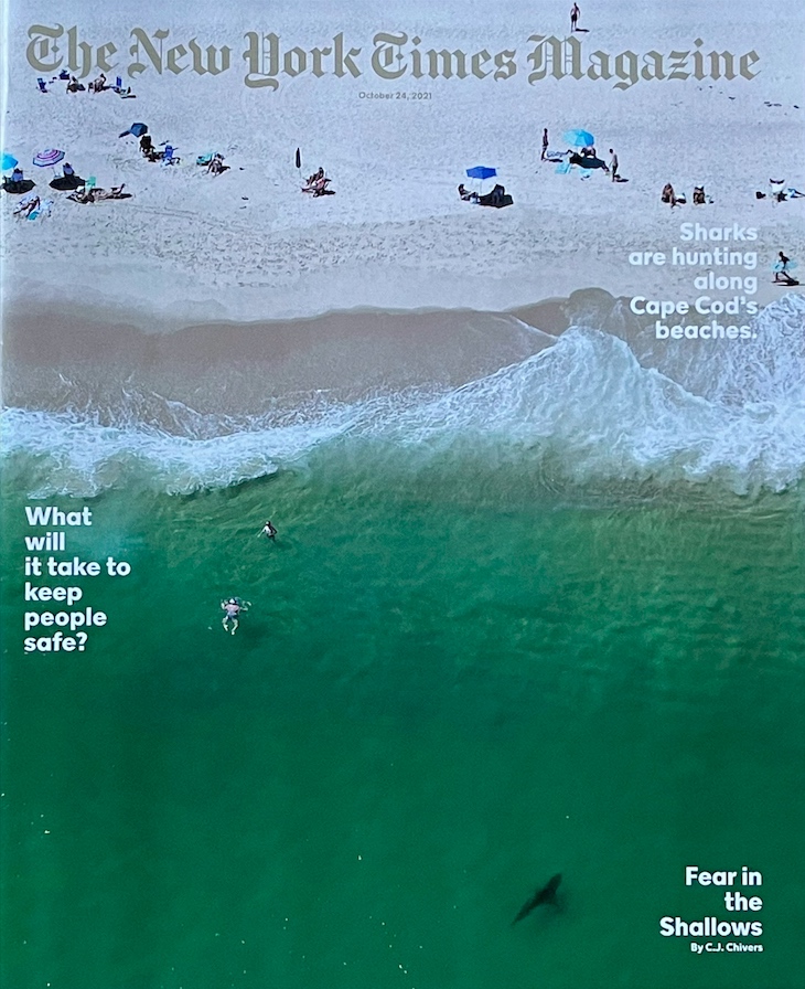
Obviously, the cover shot for the Times piece is spectacular and the work of a drone. As the piece discusses, drones might be the future of preventative measures along beaches. My takeaway? We’re seeing more and more images like this, where people are in the water blissfully unaware that sharks are quite close by. In many if not most cases, this peaceful coexistence had always been the case. Now, drones are letting us see it for ourselves. That’s not the case on the Cape, where the increase in shark numbers is well documented. But, I wouldn’t be surprised if we keep seeing pics and clips from drones that show how often people are in close proximity to “man-eating” great whites that clearly know the people are there – and clearly don’t care. Until they do, of course, but the drones might very well get people out of the water in advance and reduce the already very slight risk that a shark might bite someone in the water.
And, finally… here’s a link to the entire and very worthwhile article!..
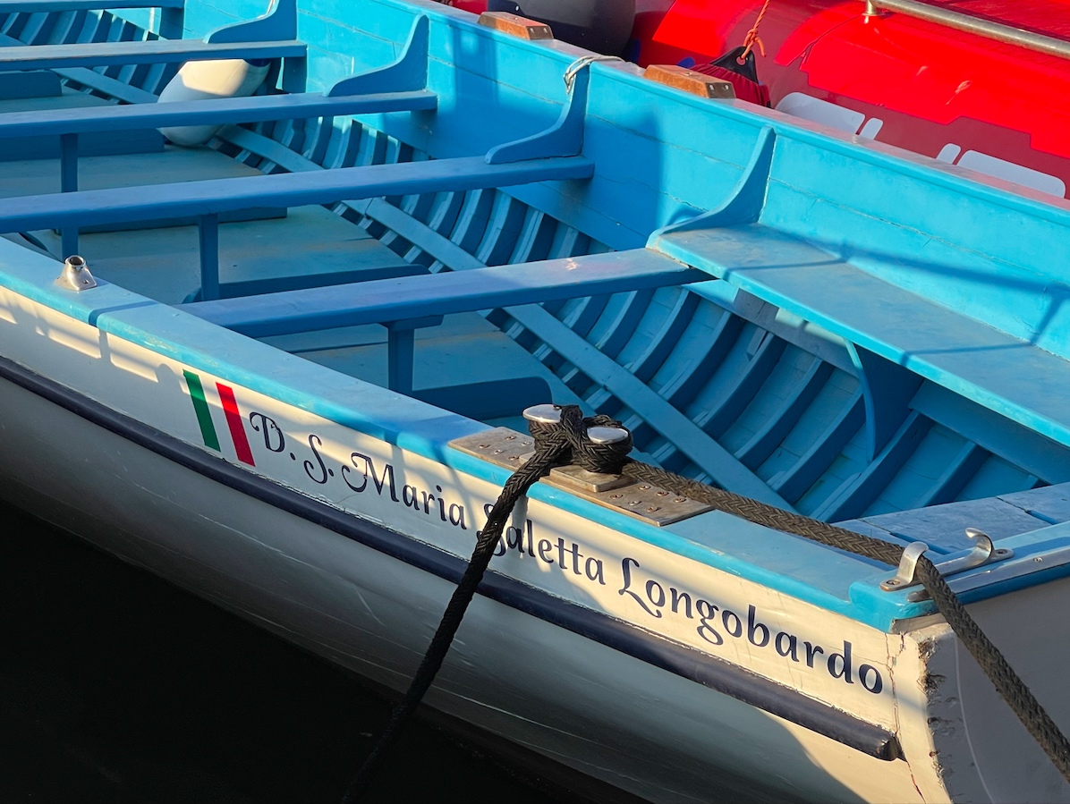
Our third trip to the country and second to Campania for bareboat sailing vacation courses did not disappoint.
Not much, anyway! Winds were kinda light. By light, I mean sometimes nonexistent, often very light, and sometimes sailable. But, we sailed. And we toured. We swam. And we wined and dined like the Medeci.
This trip was booked for last September, but by that April, we called it for obvious reasons. We eventually rebooked and kept a close eye on things, and it all worked out with the exception of some missing luggage for one couple. (I avoid checking bags, especially for boat trips.)
We first did this itinerary in 2010. It was a private trip booked by three friends (a fourth had to drop out). This time around, it was the same deal but with addition instead of subtraction, so five passengers plus yours truly. The ‘ringleader,’ Jay, had taken our Start Sailing course years before and had also been on BVI and Croatia trips with us.
Sailing out of the Naples area gives a few options:
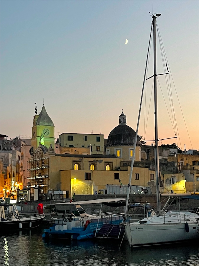
The islands off the Golfo di Napoli (Bay of Naples). These are Procida, Ischia, and Capri. Procida is the start of it all for Sunsail/Moorings charters.
The Pontine Islands, further west. These are Ponza and Ventotene. Next to Ventotene is Santo Stefano but it’s off limits.
The Sorrentine Peninsula, with Sorrento on top near the western tip, and the entire Amalfi Coast and “Amalfi Drive” leading to Salerno to the east.
It’s not hard to do some of each in a 1-week charter, especially if, when the wind is light, one is willing to turn on the engine to get there. On our first trip 10 years ago, we seldom had to motor to a destination. On this one, we seldom got to sail all the way to one. That meant sailing when there was wind, and motoring when there wasn’t. Simple. When there wasn’t, we could cover much of the distance to a destination and allow potential back-end sailing time as we got closer.
Not everyone spoke English well. But, who cares? We’re in THEIR country. And they were all very helpful and nice. That’s 3 for 3 with our Italy trips. We were always able to communicate. On our trip to the Isole Eolie dal Sicilia (Aeolians), we were lucky enough to have a fluent speaker aboard so we had an edge. The point is, you don’t need it.
Foodie? Sommelier? You’d like this trip. It was hard to get a bad dish or a bad glass of wine. We managed with wine once. On our second night at Procida, we tried the house wine. It was pretty bad. Everything else was excellent however. We did dare to try the house wine at another joint: on our last night on Procida, albeit at another restaurant. This one was fine.
We had a few foodies on the trip, and they scoured Google and Trip Advisor reviews to find our dinner spots. They did their jobs well: back-to-back Michelin rated restaurants on Amalfi, for example! One had a standard menu format and the other was strictly tasting menu options. Dishes at both ranged from solid to amazing. For the tasting menu, we opted for wine pairings with each course. That cost. But, it was worth it.
The water was absolutely delicious for swimming. Warm; clean and clear; smelled good enough to taste, although we passed on it. We had the same experience in the Eolie off Sicily. Something about that clean, super salty water. Seldom anything to see by snorkeling, as it’s not a coral-reef kinda place, but we leave that for the Caribbean anyway. Ventotene is a diving hot-spot, but it’s less suitable for snorkeling. On our prior trip, the gang was invited along last minute to go along with some divers and they had a good time with it. One can also just snorkel from the beach and if not a snob about it, it’s decent.
Our itinerary for this trip: it evolved as it evolved. We didn’t show up with a pre-set plan, but rather some general ideas about what we wanted to do that would be dictated by weather and logistics. The first logistic was… Lufthansa. They lost some of our luggage. It never got to the boat or the base, until the day after we returned to New York. But, it was supposed to arrive by courier the next morning, so of course we didn’t head off to Capri or Ventotene or anything. We simply did a day sail on the first full day and returned to the base at Procida.
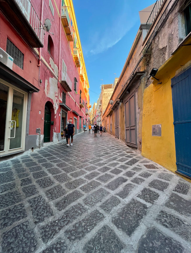
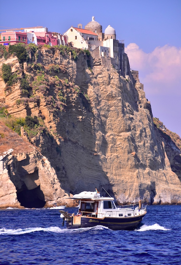
That was almost a blessing in disguise, as it allowed for some exploration that we would’t otherwise have gotten. What a stunningly beautiful little island! Very good, and very local, food too – including spaghetto with sea urchins. Yes, I spelled it with an “o.” That’s what the local restaurant did, and not just for that dish.
We’re not out of COVID country yet, so protect and then play.
It’s been a strange season, but as usual, we improvise, adapt and overcome. In March, we didn’t know if we’d have a sailing season at the Sailing Center! By June, we knew it would be closer to biz as usual on the water, in addition to our innovative and popular “Live 105” courses on Zoom for Coastal Nav (which no one else seems to be running). We figured we just had to play it safe.
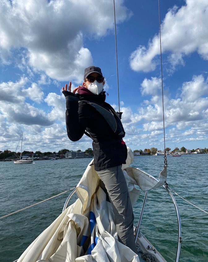
We did. We limited class sizes beyond (below?) our normal capacities, further reduced classroom time for learn to sail courses, and mandated masks. Sometimes, people could take them off, but only when it made sense. Most people arrived at the Sailing Center pre-conditioned to wearing their masks all the time. (One or two prospective students were not invited to sign up after expressing a distaste or unwillingness to wear masks.)
Video clip for ya ! Mike and Kelly “deal with the heel” on a windy day…
We got through the season, which is winding down. It ends by early November for us. But, the country, and much of the world, is NOT through the pandemic. Politics aside, numbers don’t lie. People lying in ICU beds in hospitals are not faking it. Many countries are in their second or third waves or spikes, and winter is coming which will almost certainly make the pandemic worse. (And don’t forget the flu!!!) A COVID-19 vaccine is not immediately around the corner, nor is worldwide distribution of it when it arrives. So… wear that mask!
So…. it’s not over ’til it’s over. That sadly applies to the pandemic, but I’ll gladly take that this sailing season isn’t quite over and despite that, and eager anticipation of sliding down snow, we’re already looking forward to the next one!
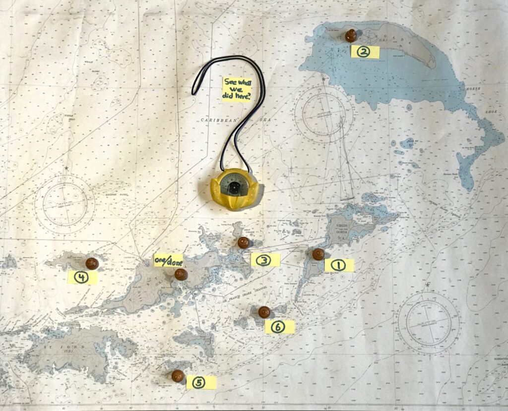
We got back from the trip on Saturday and loved it. All a bit of a blur and a blend, and we detoured slightly from the plan. But, for what it’s worth, here’s the answer to the challenge we put to you: identify the “default itinerary” for our BVI trips.
Same chart as in last post- this time, labeled with the spots. Go ahead; zoom it up! See some detail. In the meantime, here’s the list:
Virgin Gorda: Spanish Town.
Anegada. There’s just the one anchorage.
Marina Cay. Again, the one spot.
Jost Van Dyke: east end, between Jost and Little Jost.
Norman Island: the Bight
Cooper Island: just the one – Manchioneel Bay.
We deviated on this trip. Not by fucking up our compass, no. We just stayed two nights at Norman and skipped Cooper this time around. We adjust based on what the people who paid to play had to say. And, sometimes the weather. Here’s a synopsis of this trip!
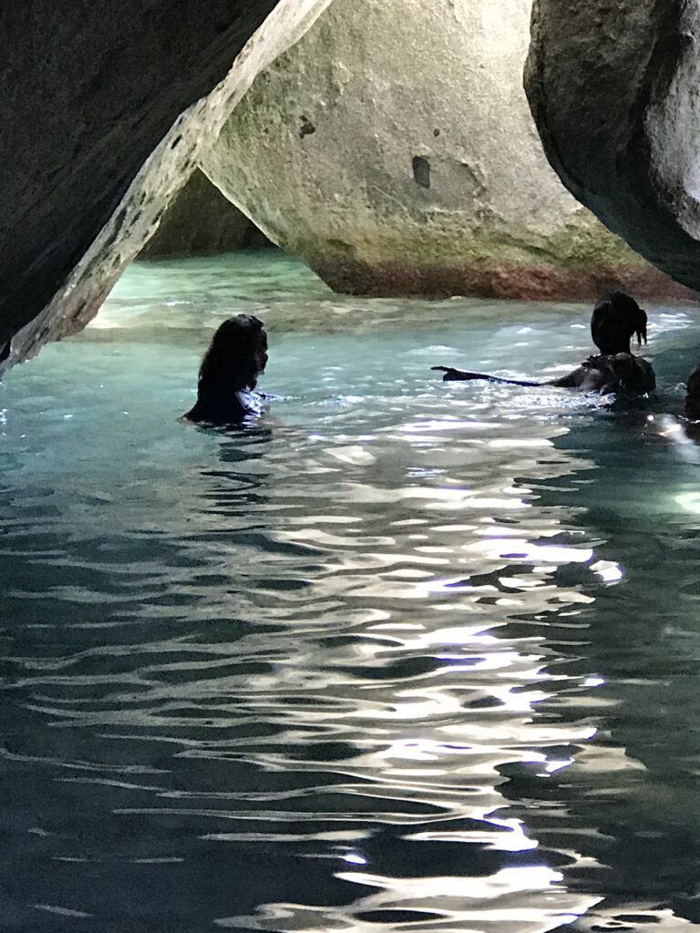
Spanish Town, Virgin Gorda. We anchored there after a snorkel and lunch stop at Great Dog. Then, we dingied into the marina and called a taxi to the Baths. Always breathtaking; never disappointing (except when super crowded. Several in our group were first timers and blown away by it. We grilled aboard that night.
Anegada. Our personal favorite, where we often spend two nights. One did the trick on this trip as all were eager to see as much of the BVI as possible. We anchored, lunched, and went ashore to explore the north side beaches (mostly by bicycle; one sailor opted for a taxi). The bikers did a beach crawl. Dinner: Anegada Reef Hotel on the beach. Various dishes were accompanied by a nice NZ bottle of Sauv Blanc. Chess match: competitive game with Gregor, but Captain Card managed to find a way to win despite a kibitzing (but entertaining) audience.
Marina Cay. Got a mooring early; had to move when crowded by anchoring cats. No problem. Then, off to snorkel the Coral Gardens which didn’t disappoint beyond slightly silty water column. The fish didn’t seem to care. No one on board had been to the relatively new and, post-Irma, refurbished Scrub Island Resort. A friend on another charter supplied intel on the merits, so we hopped in the dinghy. No one on board had been to the relatively new and, post-Irma, refurbished Scrub Island Resort. A friend on another charter supplied intel on the merits, so we hopped in the dinghy. Nice spot; very expensive drinks that were disappointing to decent, but, hey – it’s a brand new fancy joint so we should have expected it. Dined aboard once more. Gregor whupped Captain Card’s ass at chess, straight up. So it goes. (nb: the fuel/water dock was supposed to be open, despite the rest of the island not offering anything anymore. The hurricanes totally trashed MC. However, it was closed all afternoon, and again in the morning. Two yachts had parked on the pier overnight after seemingly waiting all afternoon.)
Jost Van Dyke. We did a quick snack/snorkel stop at Monkey Point on Guana Island first; surf wasn’t up too much, but water clarity sucked. Nothing special in the fish life department, but it was fun to see them regardless and the cave had a school of likeminded fin fish on display as well.
On to Jost/Little Jost, which gave us a downwind sail in swells and a few jibes for good measure and balance. We moored at the back of the bay, close to the shallows and flats and also the dinghy dock at Foxy’s Taboo (yes, offshoot of the famous Foxy’s around the corner x 2 at Great Harbor). We usually anchor here, but there was a prime mooring spot so we took it.
After some lunch we dinghied in to shore and made dinner reservations before trekking to the Bubbly Pool, a must-see spot that’s a light walk/hike from the dinghy dock. BVI Tourism aptly calls it “the East End’s natural sea-formed Jacuzzi.” I agree! As usual, we had it to ourselves briefly upon arrival before the hordes arrived. Just the way the luck rolls for us here.
Dinner was only for us. They’d let us know when we reserved that we were the only boat/table thus far, and to be sure to advise if we changed our plans. We negotiated a time of arrival, and we showed up. This is rare for this spot; it’s usually somewhere between happening and hopping. Easy night and early closing for them. But they took great care of us. Food was exceptional for BVI; we’ve eaten there before and enjoyed it, but everything was top notch including my baby backs, which were some of the best I’ve ever had.
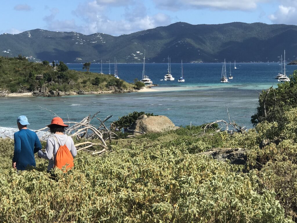
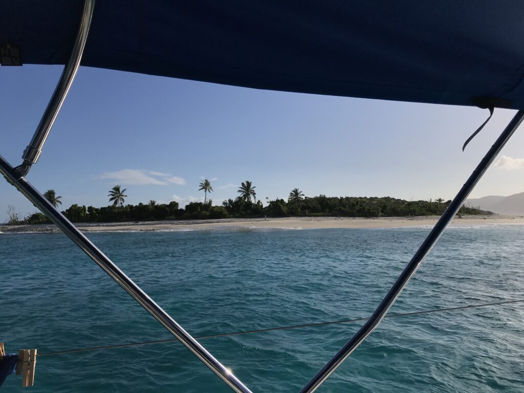
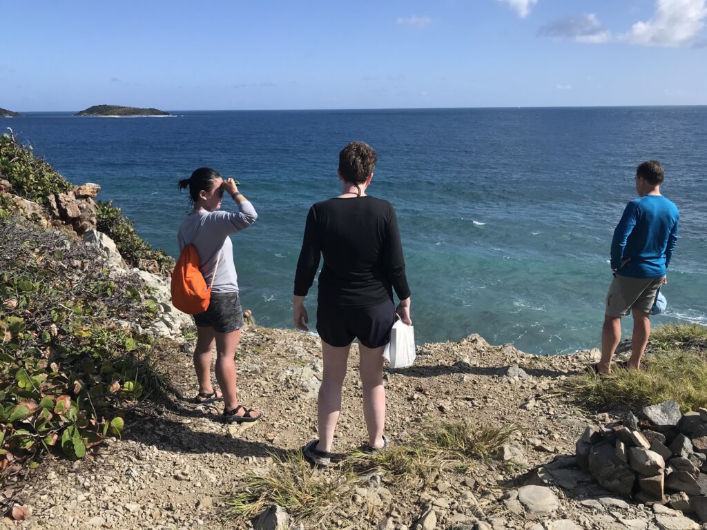
Norman Island. Before stormin Norman, we stopped at Sandy Cay right off Jost. We had it to ourselves briefly as usual being the first to arrive. We did a hot drop with the dinghy, and Sir Gregor volunteered to drop it off at the yacht and swim in. nb: it’s seldom calm enough to safely beach the dink here; don’t risk it. Swim or snorkel in from the day moorings. The attractions here are to beach comb and hike the path up through the woods to several elevated plateaus with stunning vistas. It’s way higher up than it looks from shore or afar. Pro tip: hit it early in the AM before heading to your next destination. The alternative, late afternoon, is often too late for securin’ your berthin.’ (This works at many popular BVI day stops before the crowds arrive.)
We enjoyed Norman itself enough to stay two nights! That’s a first on our trips. Anegada and Virgin Gorda are other spots where we’ve lingered an extra day & night sometimes. We anchored at the Bight in a spot we can usually get away with that strikes a nice balance of serenity and equal opportunity to get to where we want to play here. We snorkeled, chilled, etc and then BBQ’d for din din.
The next day, we chose to do the moderate hike up the ridge for amazing vistas, and then day sail around Norman before grabbing a mooring at Benures Bay for the day. Yup; both Benures and Soldiers now have some moorings; this wasn’t the case when we were last here a year ago.
We enjoyed the day here; Gregor did a second hike to another location. Then, back to our anchor spot and drinks and Danger Jenga ashore at Pirate’s Bight before a last supper aboard.
The next morning was both gloomy and beautiful as we motored back to the base and prepared to head home. We got lucky; as soon as the boat was docked and the engine off, it rained. But, as is usual, it was brief and we didn’t get soaked before we departed, and we wished we could have stayed just a little longer.
(all photos in this post, for better or for worse, with the exception of the above by a passerby at the base under supervision, by Captain Stephen Glenn Card.)
We recently got back from our second trip to Italy! We were all sad to see it end, but all had to get back to make mo money for the next trip…
Last time ? Islands off the Gulf of Naples, Pontine Islands, Amalfi Coast. Sweet trip; years ago.
This time?
The Isole Eolie off Sicily, which are a UNESCO World Heritage protected area. The waters were perhaps the clearest any of us had ever seen in our travels, and super saline to the point of us feeling like we just floated higher when swimming and snorkeling. The islands are a beautiful combo of rugged, volcanic majesty and plush, verdant beauty. Nice peeps, plates and ports of call.
We all arrived the afternoon in advance of departure at Portorosa to get settled and prepped. The “Sunsail” base here is operated jointly by Sail Italia, which operates some or all of Sunsail’s operations on a day to day basis in Italy, and Turistica Il (il) Gabbiano Yacht Charter. It was confusing at first, but the folks there were consistent and very nice to deal with.
We made sure there was a boat (check), got our boat briefing out of the way early, and waited on an area brief/skippers’ meeting. This got consolidated into too many boats in one briefing late in the day, but we all dealt with it and managed. Afterward, and again the next morning, there was time to ask more questions.
As we paid plenty for a near-new boat (less than 1 year old), there was almost nothing to address about its condition. One hinge for one vanity adjusted, and done! Only unresolved question was what to name the boat. Seriously. No name! So new, that… no name. So, off to the make believe land of GoT to come up with something. Plus, one that came up organically in convo with one of the Italian staff. That one? Solo Sicilia (Only in Italy). The one that stuck and was put down on paperwork in port after being used on the VHF?
“A Girl HAS No Name.”
Wonderful dinner ashore at a restaurant in the complex, with excellent local wine. One of our crew is somewhere between an connoisseur and a sommelier, so we never had to worry about wine choices.
DAY ONE: Coffee, breakfast in stages, and get ready to RUMBLE! The first two or three days were forecast to be pretty calm, so we anticipated light and variable winds in the mornings that ought to become light but sailable midday or in the afternoon. (Nailed that.) Then, mid-week, we’d get a “storm” in their words. It was imperative to have a parking spot in one of the few sheltered marinas in the islands, and wise to not plan long legs during that time frame. Our imperative? Get to Stromboli and knock that out, so to speak, before getting mid-chain and hedging / assessing next steps.
So, to jump start things, we planned to bypass the first island, Vulcano, and stop at Lipari instead as a first step toward Stromboli for night two. We reserved a berth at Lipari and a mooring at Stromboli toward that end. Lipari is the largest of the Eolie, and has a protected port and plenty of sights to see while parked there.
As predicted, the wind was light and variable as we left port, and for most of the way to Lipari. We motored the whole way. Some boats tried to sail but were standing up straight and stubbornly sailing for the sake of sailing … slowly. Very slowly. We wanted to get in the vicinity of Lipari and then maybe do a pleasure sail once there rather than a delayed delivery. That worked. The wind came up enough to be meaningful and, with Stromboli smoking in the background, we did a fun shakedown sail for awhile before radioing in to the marina for final instructions.
Lipari’s chief parking spot is Porto Pignataro. It’s well protected from most directions, but it’s a bit tight inside and can require confident maneuvering in close quarters. The wind had picked up a bit, but it was off the dock so easy to back up and Med moor in our assigned spot – especially as the marina had a man on on hand to pass us the laid line (mooring line that makes using an anchor unnecessary).
We wanted to explore ASAP, so after plugging into shore power and adjusting stern lines, off we went with yacht paperwork and passport to check in at the marina office before wandering into town. Once on foot we happened upon a friendly, professional looking driver with a Mercedes taxi-van, Danielle, who proposed a tour of the Island for a set fee after we asked for a ride into town. Sounded like a fair deal and a great way to explore efficiently, and we took it. Highly recommend this: it’s a large island and there are great vistas available if you roam around this way. Plus, Danielle was free flowing with factoids and perspective about the island and the area. We stopped several times, including an opportunity to just walk around the main pedestrian thoroughfare for a spell before moving on. This part was slightly rushed, but still worth it. Personally, I roamed up in between buildings and got a tour not unlike Old Town, Dubrovnik’s walled city. A few scenic stops later, we’d gone around the Island.
Dinners? To be done dockside… or more likely, a little further away. So, we took Danielle’s suggestion and went to a place up on a hill just outside town called Filipino’s. It looked like an expensive tourist trap, but it wasn’t. Everything was reasonable; fresh fish by the gram was a bit pricey but not outrageous, and it was fresh and well prepared.
DAY TWO: TO STROMBOLI
With a stop along the way to snorkel, of course! We hit the smaller islands off Panarea on the way. There’s a spot where gas is escaping from the seabed to the surface, and it’s super kewl to snorkel through the streams of bubbles. We found the suggested anchoring spot (very fussy and small area; highly weather dependent to do). Then, we found the bubble area, which is not visible easily from the surface if at all.
That, plus some bites, and we were off to Stromboli. We chose to motor to the snorkel spot to save time as, again, there was little wind. But we sailed all the way to Stromboli from there. How majestic and beautiful.
Stromboli is a constantly active volcano with two small toe-holds of civilization. There’s a mooring field with some room to free anchor off the northeast shore, where the larger village is (and were the ferries zoom in and out creating wakes except during the night).
One must plan carefully and visit here only when the weather is favorable as it’s exposed from three cardinal directions. Totally worth it: stunning to see up close and personal.
Our resident Italiana spoke to the locals and scoped out a sweet spot for dinner, which took some exploring to find. It was worth it. Trattoria ai Gechi. (Think GEICO gecko with his mouth shut while folks eat.)
That’s a wrap for this installment; we’ll do another one or two to share the rest of this trip with you! Ce vediamo, eh?
“Lay it on me, Card- how is it down there? Really.“
Well, it’s like this…
We all know that there’s an elephant in the chat room. It’s been hard to get a good sense of what it’s like down there post Irma and Maria. So, we up and went, on the assumption that despite boat and building damage, the islands would still be there.
Our report? Not half bad! Better than that. We recommend it.
Of course, that depends on what you’re looking for in a tropical sailing trip. If you want an endless variety of bars, restaurants, and gift shops, go elsewhere. If you want beautiful islands, healthy reefs, and an abundance of fish to gape at while snorkeling, a representative sample of shoreside fun, and some well deserved tranquility, then head on down or join us on one of our trips.
Islands: what’s good and what isn’t
Most islands in the British Virgin Islands were impacted by the hurricane. Some did quite well and it was not an issue for tuning up for the tourist season. Others had extensive shoreside damage and the facilities (restaurants/marinas) were basically wiped out. These areas are under reconstruction, and will be restored, but some have a way to go.
A-Z, to the extent we could ever bother to spell while down there…
Anegada
We didn’t go this time around due to a short trip and rough weather for more than half of it. However, we’ve heard all along that Anegada fared well in the storm and was good to go. Once we were down there for our skippers meeting at Moorings/Sunsail, this was confirmed. The Anegada Reef Hotel and many other restaurants on Anegada await you.
Beef Island/Trellis Bay
Pretty beat up. Many boats still littered around the anchorage and shore, and as it’s connected to the mainland, it remains a busy and crowded anchorage. There’s a market to get supplies which might be adding to the crowding. This was from observation, briefing, and first hand reports from people who just went there.
Cane Garden Bay, Tortola
Didn’t go, but it has a restaurant open on the beach (supposedly a good one). The satellite branch of Bobby’s Marketplace is not open yet. As this anchorage is uncomfortable in any north ground swell unless you get a good mooring, either skip it or arrive very early with a Plan B in mind. Having said that, they’re recommending it subject to the swell, and based on past experience, we agree. It’s gorgeous.
Cooper Island
Restaurant not open yet. Can sort of get ashore to walk on the beach a little; if you do, honor the signs for private property when you get close. There are plenty of moorings here, but get there early. This is the only anchorage in the area where anchoring is legally prohibited. You will be chased out if you try it, so if you’re getting there past early afternoon, have a plan B.
Snorkeling from the dinghy mooring at Cistern was above average for the location with plenty of fish. (A certain secret spot where a VERY large barracuda liked to hang was all but destroyed so didn’t go looking for trouble. To this day, dear friends/clients argue with each other and me as to whether this was actually a shark. It wasn’t.)
Jost Van Dyke
Here’s your nightlife. Most places on the island are up and running, including Foxy’s in Great Harbor, Sydney’s and Harris’ in Little Harbor, and the Soggy Dollar Bare in White Bay. One can dock up to refill water tanks in Great Harbor. Foxy’s Taboo at Diamond Cay (near Little Jost) is not open yet.
There are some moorings in each harbor, although traditionally, one expects to anchor at Jost due to the volume.
Marina Cay
Gone. The island is still there, of course, and anything concrete and steel remains. The fuel and water dock, English phone booth, restaurants and bars are gone. The island is off limits and (fairly) strictly enforced. That makes it nice and quiet! Get there early, get a mooring directly in the lee of the island (protected from the prevailing wind), and enjoy a nice quiet night.
Snorkeling at the Coral Gardens was amazing. It’s always good, but we enjoyed something different this time. Schools of parrot fish were behaving a lot like predator gamefish, snapping at floating weeds at and just below the surface! We’ve never seen them more than a few foot off the bottom, cruising around or nibbling at coral. Their were several varieties in attendance, but the ones schooling were fairly colorless with gray/black highlights. There were rainbows and other color varieties around as well.
Norman Island
The Bight, or Pirates Bight, is a large anchorage that always has room for more boats, and a little more now that the Willy T (William T Thornton, a large sailing vessel semi-permanently moored in the Bight), is semi-permanently wrecked ashore. Sad. Benefit? That was a LOUD boat, especially on Friday and Saturday nights. So, much quieter now until if/when they replace it.
The restaurant is supposed to be open but we didn’t go ashore to investigate. Snorkeling along the walls at the Caves, around the corner from the anchorage, was average to slightly above for this spot (which is excellent if you do it right).
North Sound (Gorda Sound), Virgin Gorda
Mostly gone. This area’s facilities were mostly wiped out. One can anchor or moor in many places, of course, and enjoy the tranquility and the reefs for snorkeling.
The one facility open in the Sound is Leverick Bay, and the Pussers (eh) restaurant is open. I don’t remember if water was available at Leverick to top off tanks, but one can check before planning on it.
Peter Island
No facilities open yet ashore. Who needs it… Peter Island had an expensive and snotty facility which, if memory serves, required a jacket of gentlemen for dinner. So NOT going down there for that. The allure of Peter, as we see it, is that the harbors have nothing. Just protected anchorages and scenic tranquility. We anchored along the east wall of Great Harbor and loved it. Good snorkel trip along the rip rap on the bottom (which had been there forever). Not a coral spot, but lots of fish as they love this kind of structure. Not bad for jumping off the back of the boat!
Spanish Town, Virgin Gorda
Marina is open. This is very enclosed with slips. There are also a few moorings outside, and an area where one can anchor and dinghy in if it’s not rough. No dockside market, and might not have any restaurant facilities running yet, but there are several in town within walking distance, which lets one see how the locals live. Also, one can get a taxi from here to go to the Baths. If it’s a little lumpy in the harbors due to weather conditions, and people need a break, this is your spot. Flat calm, plus you can step off and walk around on solid ground.
Our trip revealed what we’d hoped it would: a resilient populace living in a natural environment, both of whom roll with the proverbial punches of Poseidon, Neptune, etc. If you want to see and explore the British Virgin Islands closer to the way they were before the charter industry really built up, now’s the time! Expect to provision your boat more and dine ashore less. If that’s the price to pay to play here, I’m more than happy to go back ASAP.
A client of ours is originally from Canada, and two buddies and he did 103 and 104 with us one season before doing their first bareboat charter in the BVI.
Adam’s uncle got involved with a latent lighthouse in Ontario, Canada. He’s on the local preservation committee, and had been trying to get it lit back up. Apparently, it was a somewhat uphill battle as there were concerns about the light shining on shoreside homes at night and being intrusive. The major’s office was involved and favored the light being back on, so that helped.
Here’s an excerpt from the original Notice to Mariners in 1917 that announced the construction of this light!..
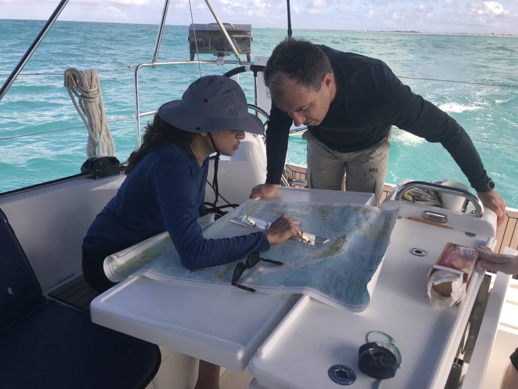
For its return, the compromise was to aim the light across the bay at another peninsula rather than sweep across the shore or just aim 360 all around. Our mission: confirm the exact bearing, and show/explain why we came up with the magic number.
(Truth be told, Adam was more than capable of doing this himself, having successfully taken and passed 103, 104 and 105 with us and then applied it in the BVI. But this had to come from us as the outside experts.)
Anywho, Adam enlisted us to be the alleged experts to plot the angle of the light and show how we’d done it.
1. Get the right chart. Adam took care of this: NOAA #14832, Upper Niagara River, ending in Lake Erie.
2. ID the light in question: “Light House,” on Point Abino. No characteristics shown as it’s idle.
3. ID the exact spot the new light is supposed to be aimed at: SW corner of the peninsula across the bay at the other end of Crystal Beach.
4. Measure the bearing painstakingly several times with at least two methods and get a consistent answer: 61 degrees magnetic.
…or is it no location? Or too many, so a school is confused about where it is?
Do two (or three) wrongs make a right (location)?
Wonder what percentage of you get the GoT reference of this post’s title. (If you don’t get GoT, let us know and we’ll bring you up to speed.)
Hint…
WTF am I talking about? Sailing schools who are geographically challenged and are either so confused they don’t know where they are – or want you to be so you sign up for their school at one of their dubious digs.
Example: a school is named after a geographic location. An island. They had to move from that island to a neighboring state. They still reference teaching at that original island in their blurb on the ASA School’s page. But a girl has to cross a river to get to them. (oops; there’s another GOT reference…)
Another example: a school has three locations, none far from the others (and all in our state). One moved across the bay it’s located in. Map page still shows it where it isn’t. At least it’s the right bay. One is entirely new. It’s listed on the ASA page as being in a particular Bay, where they say the sailing is Great. But a school is not in this bay. It is in another, far away, and the sailing is not in this tiny bay. A school sails in an inlet on an ocean. (And a school cannot hide from that ocean’s swells.)
What do we care? We like good old fashioned, straight up honest advertising. Plus, we’re very proud of our location. It’s extremely accessible from so many places, both by public transit and car. The area is insanely good for teaching sailing and just enjoying a day sail or a cruise.
Some schools have multiple locations. Some locations have multiple schools. Tiny little City Island, barely a mile and a half long, has historically been home to two sailing schools – sometimes just one, and for a time, three. Plus, it has two college sailing teams. Both those universities have campuses on Manhattan. But, they sail out of City Island. Finally – we have three yacht clubs on the Island and the vast majority of their members’ toys are sailboats.
We have had opportunities to add a satellite location at the “bay on the ocean,” on the Hudson, etc. We have always declined. Not worth having a location slightly more convenient to Manhattanites, or to spread ourselves around hoping to capture another demographic, just to take clients’ money and give them a piss-poor education and experience that, if they even learn properly from, they’ll soon outgrow.