Italia 2.0

Our happy get-along gang posing for a pic at Portorosa!
The gang! Our HBIC (Head Bozo in Charge), Captain Card, on the right. We’re at the base in Portorosa, Sicilia, the afternoon before departure.

(all photos in this post, for better or for worse, with the exception of the above by a passerby at the base under supervision, by Captain Stephen Glenn Card.)

We recently got back from our second trip to Italy! We were all sad to see it end, but all had to get back to make mo money for the next trip…

Last time ? Islands off the Gulf of Naples, Pontine Islands, Amalfi Coast. Sweet trip; years ago.

This time?

Sicilia and outlying islands, with the Isole Eolie forming a sort of Y pattern off the northeast coast (with Lipari labeled).

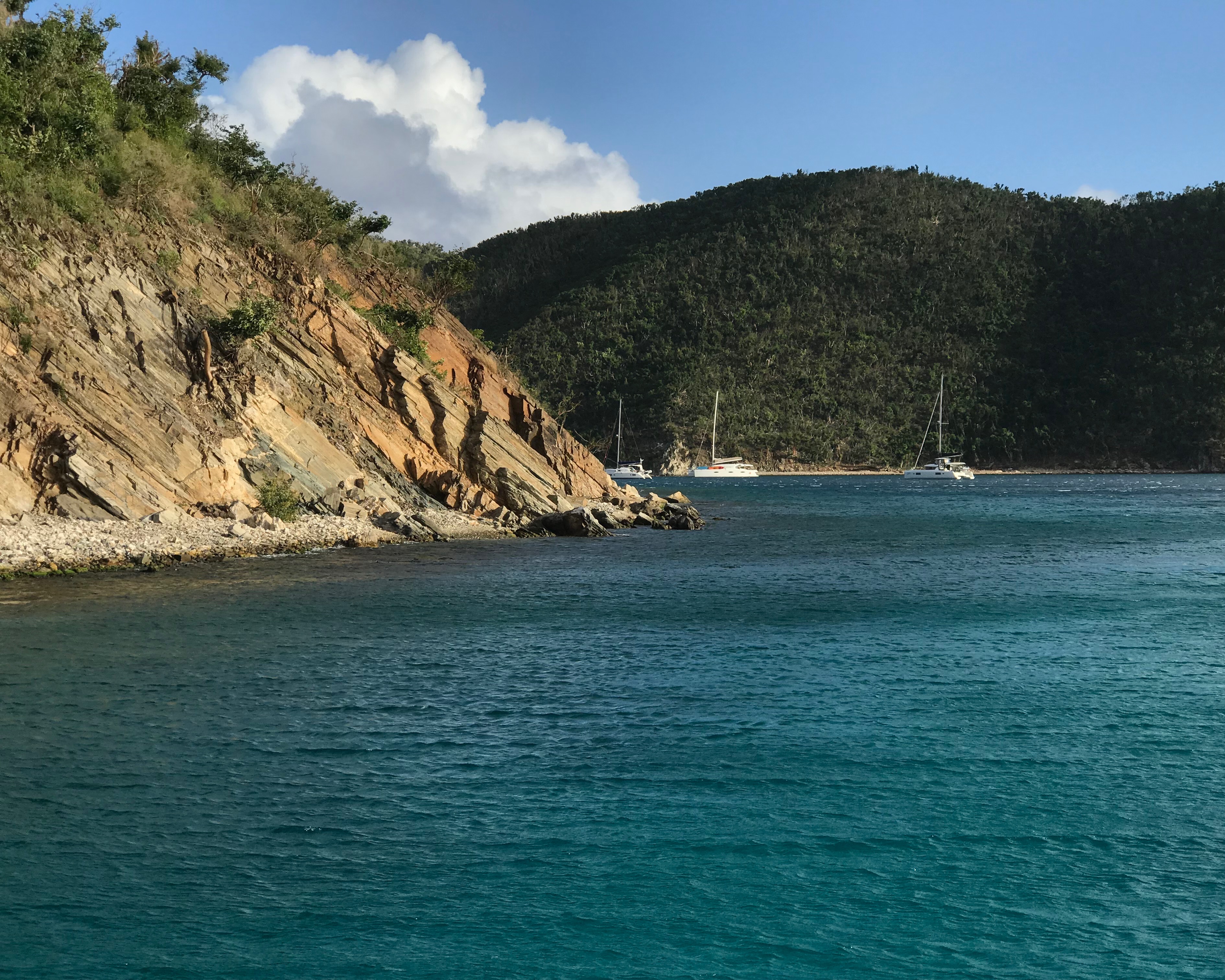
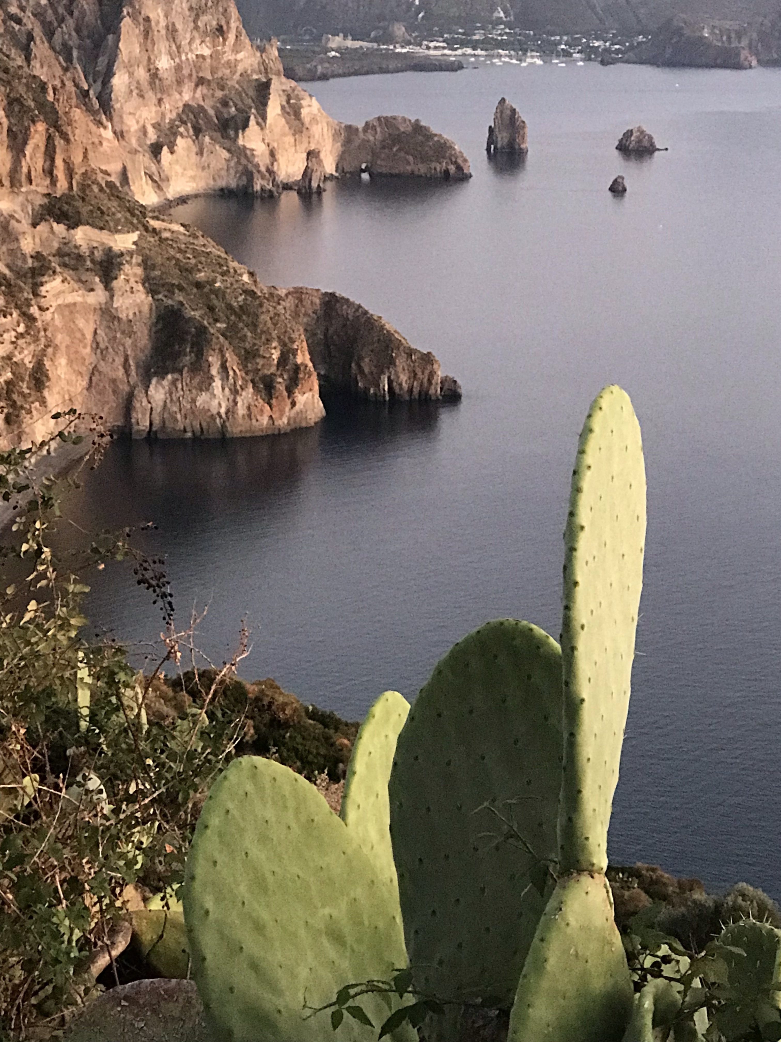
The Isole Eolie off Sicily, which are a UNESCO World Heritage protected area. The waters were perhaps the clearest any of us had ever seen in our travels, and super saline to the point of us feeling like we just floated higher when swimming and snorkeling. The islands are a beautiful combo of rugged, volcanic majesty and plush, verdant beauty. Nice peeps, plates and ports of call.

Zoomed in somewhat on the Eolie for general perspective. Ginostra, top right, is a tiny village on Stromboli. There are seven main, inhabited islands in the group, which spans about 30-35 nautical miles diagonally in any direction.

We all arrived the afternoon in advance of departure at Portorosa to get settled and prepped. The “Sunsail” base here is operated jointly by Sail Italia, which operates some or all of Sunsail’s operations on a day to day basis in Italy, and Turistica Il (il) Gabbiano Yacht Charter. It was confusing at first, but the folks there were consistent and very nice to deal with.

We made sure there was a boat (check), got our boat briefing out of the way early, and waited on an area brief/skippers’ meeting. This got consolidated into too many boats in one briefing late in the day, but we all dealt with it and managed. Afterward, and again the next morning, there was time to ask more questions.

As we paid plenty for a near-new boat (less than 1 year old), there was almost nothing to address about its condition. One hinge for one vanity adjusted, and done! Only unresolved question was what to name the boat. Seriously. No name! So new, that… no name. So, off to the make believe land of GoT to come up with something. Plus, one that came up organically in convo with one of the Italian staff. That one? Solo Sicilia (Only in Italy). The one that stuck and was put down on paperwork in port after being used on the VHF?

“A Girl HAS No Name.”

Our director going in for the high five with the boat briefing tech, Natale, after cracking him up.
Our Director and Head Bozo in Charge, Captain Card, on left goin for the high 5 with Natale, our boat briefing tech. Card cracked him up on numerous occasions.

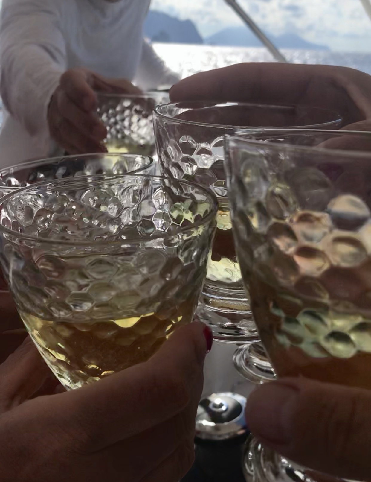
Wonderful dinner ashore at a restaurant in the complex, with excellent local wine. One of our crew is somewhere between an connoisseur and a sommelier, so we never had to worry about wine choices.

Screen shot of pics from HBIC Card’s phone. Left: on the tine of the fork is a small local shrimp from a pasta dish. On the plate? Prawns the size of lobsters. Worth zooming in on this! Then, middle and right, are our wine selections of the evening.

DAY ONE: Coffee, breakfast in stages, and get ready to RUMBLE!
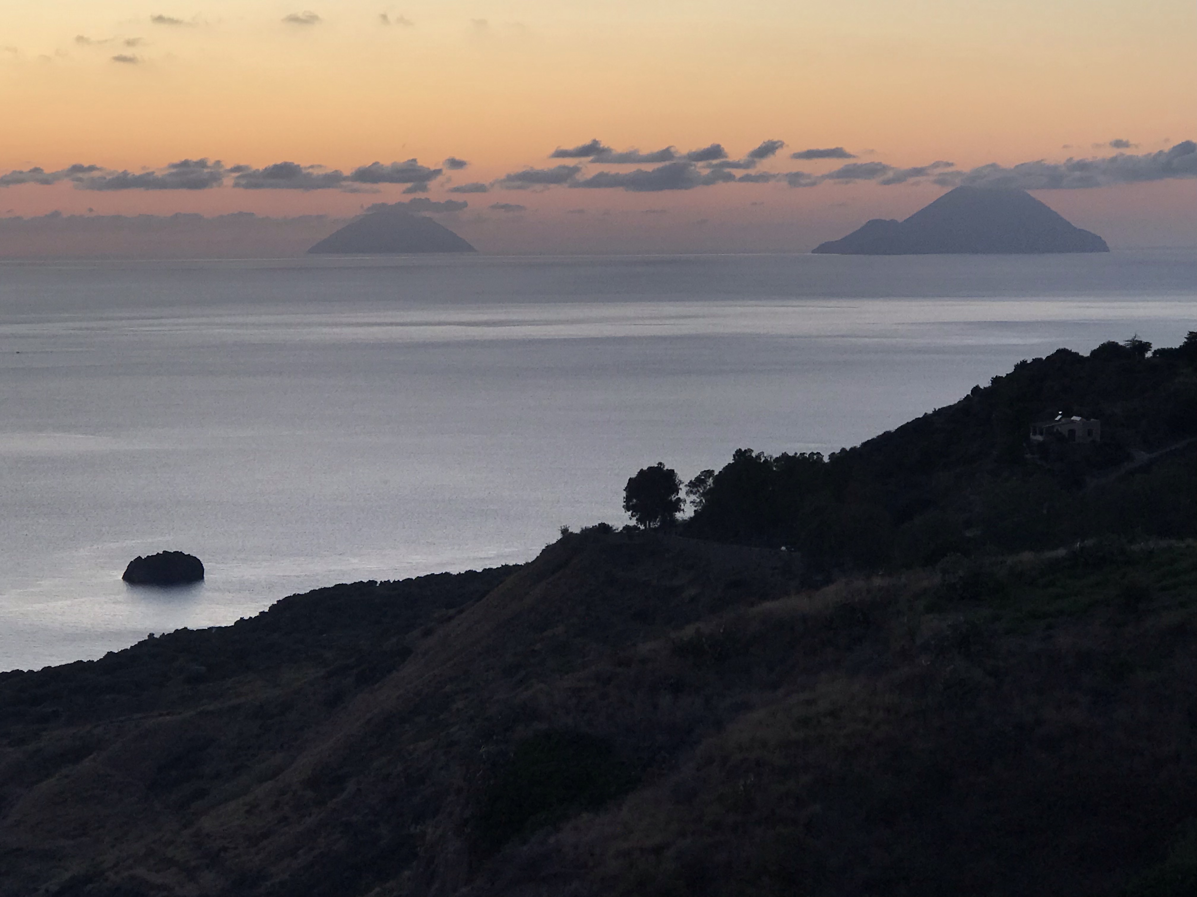
The first two or three days were forecast to be pretty calm, so we anticipated light and variable winds in the mornings that ought to become light but sailable midday or in the afternoon. (Nailed that.) Then, mid-week, we’d get a “storm” in their words. It was imperative to have a parking spot in one of the few sheltered marinas in the islands, and wise to not plan long legs during that time frame. Our imperative? Get to Stromboli and knock that out, so to speak, before getting mid-chain and hedging / assessing next steps.

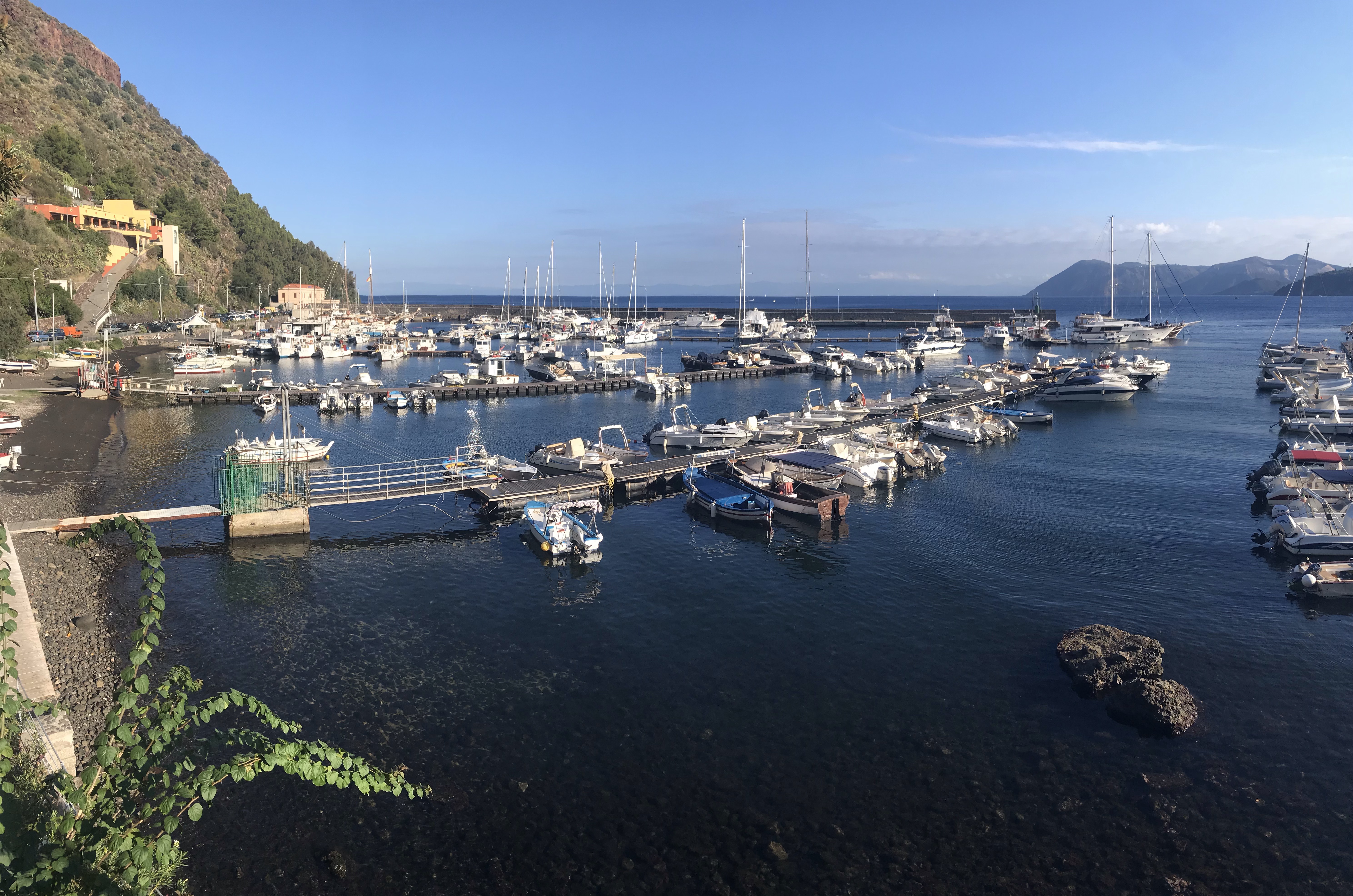
So, to jump start things, we planned to bypass the first island, Vulcano, and stop at Lipari instead as a first step toward Stromboli for night two. We reserved a berth at Lipari and a mooring at Stromboli toward that end. Lipari is the largest of the Eolie, and has a protected port and plenty of sights to see while parked there.

Sicily in the background; Siciliana steering (actually more D’Abruzzi, but who’s counting??). En route to Lipari.

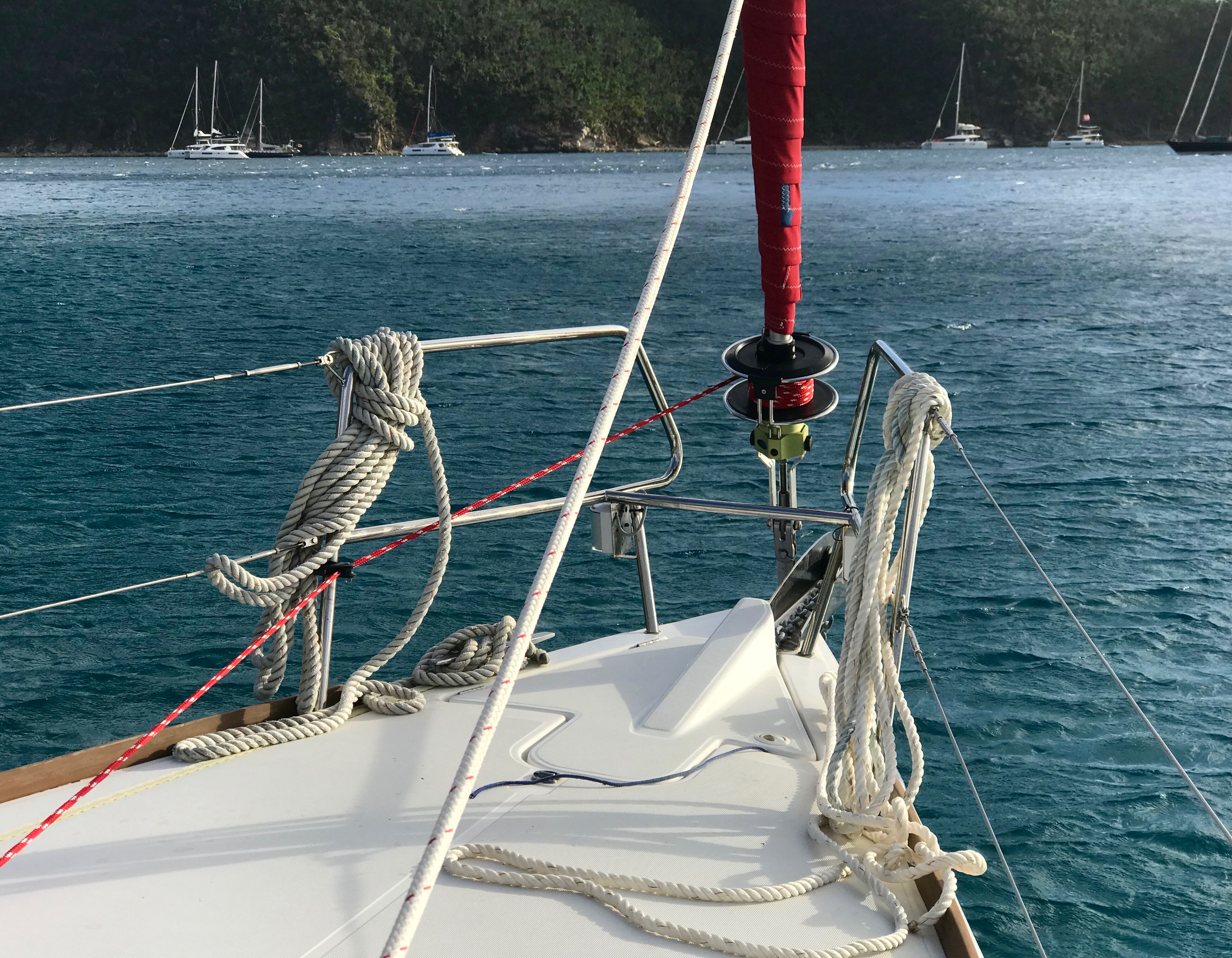
As predicted, the wind was light and variable as we left port, and for most of the way to Lipari. We motored the whole way. Some boats tried to sail but were standing up straight and stubbornly sailing for the sake of sailing … slowly. Very slowly. We wanted to get in the vicinity of Lipari and then maybe do a pleasure sail once there rather than a delayed delivery. That worked. The wind came up enough to be meaningful and, with Stromboli smoking in the background, we did a fun shakedown sail for awhile before radioing in to the marina for final instructions.

Pano shot off the boat. CLICK this one for full size/res! The dark gray arc above the water? That’s the smoke from Stromboli, stretching at least 25, maybe 30 miles toward Sicily! Where it starts on the left is a cloud over the island, which is a constantly active volcano.

Lipari’s chief parking spot is Porto Pignataro. It’s well protected from most directions, but it’s a bit tight inside and can require confident maneuvering in close quarters. The wind had picked up a bit, but it was off the dock so easy to back up and Med moor in our assigned spot – especially as the marina had a man on on hand to pass us the laid line (mooring line that makes using an anchor unnecessary).

Approaching Isole Lipari, the largest of the Eolie. Dinghies are generally stowed on deck unless it’s a relatively short passage and also calm. The engine is mounted on the stern pushpit on the yacht and only put aboard the dinghy when about to be used. (In areas with larger, heavier dinghies, such as BVI, the whole rig is just towed behind except on cats with davits to hoist it up.)
Pic of chart from base briefing: Lipari, with our intel officer, Gianni, pointing to our port on Lipari: Porto Pignataro.

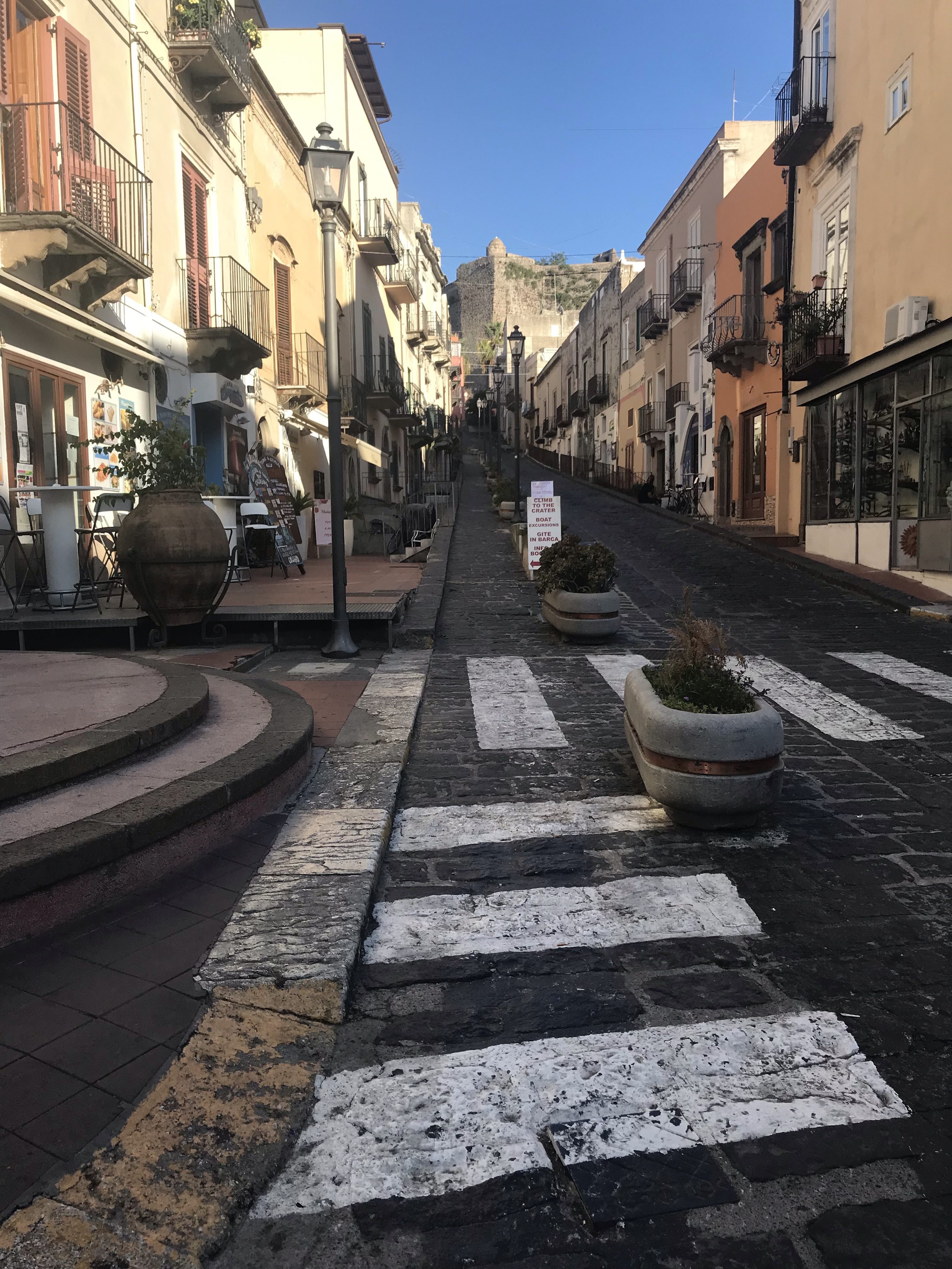
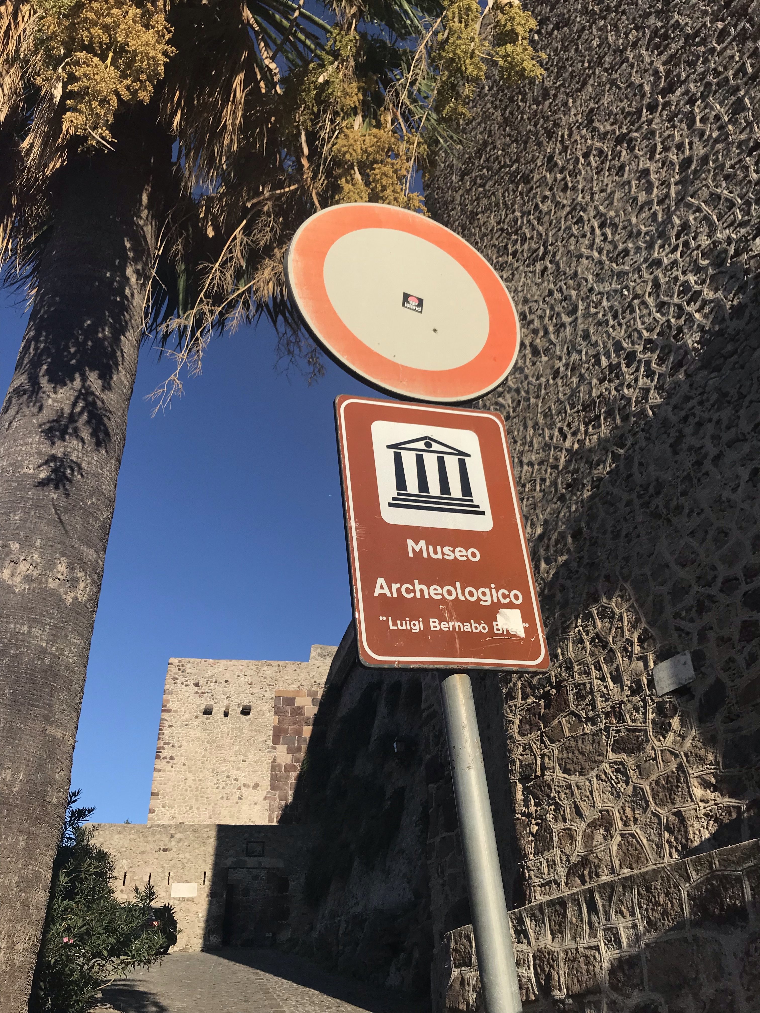
We wanted to explore ASAP, so after plugging into shore power and adjusting stern lines, off we went with yacht paperwork and passport to check in at the marina office before wandering into town. Once on foot we happened upon a friendly, professional looking driver with a Mercedes taxi-van, Danielle, who proposed a tour of the Island for a set fee after we asked for a ride into town. Sounded like a fair deal and a great way to explore efficiently, and we took it. Highly recommend this: it’s a large island and there are great vistas available if you roam around this way. Plus, Danielle was free flowing with factoids and perspective about the island and the area. We stopped several times, including an opportunity to just walk around the main pedestrian thoroughfare for a spell before moving on. This part was slightly rushed, but still worth it. Personally, I roamed up in between buildings and got a tour not unlike Old Town, Dubrovnik’s walled city. A few scenic stops later, we’d gone around the Island.

Porto Pignataro as seen from the road en route to town, shortly after we arrived that afternoon. In the background on right is the island of Vulcano.
Looking u[ a typical intersection of the pedestrian/moped area of town. At the top? The archaeological museum that’s an old fort!
Entrance ot the museum, which we later walked at night after dinner.
The gang with the testa di barca (head of the boat) taking the shot. Our awesome tour guide, Danielle, is sandwiched in the front row.
Cacti e faraglioni di Lipari.
The islands of Panarea, near right, and Stromboli, far left, matching the colors of the clouds at dusk as seen from well up on Lipari.

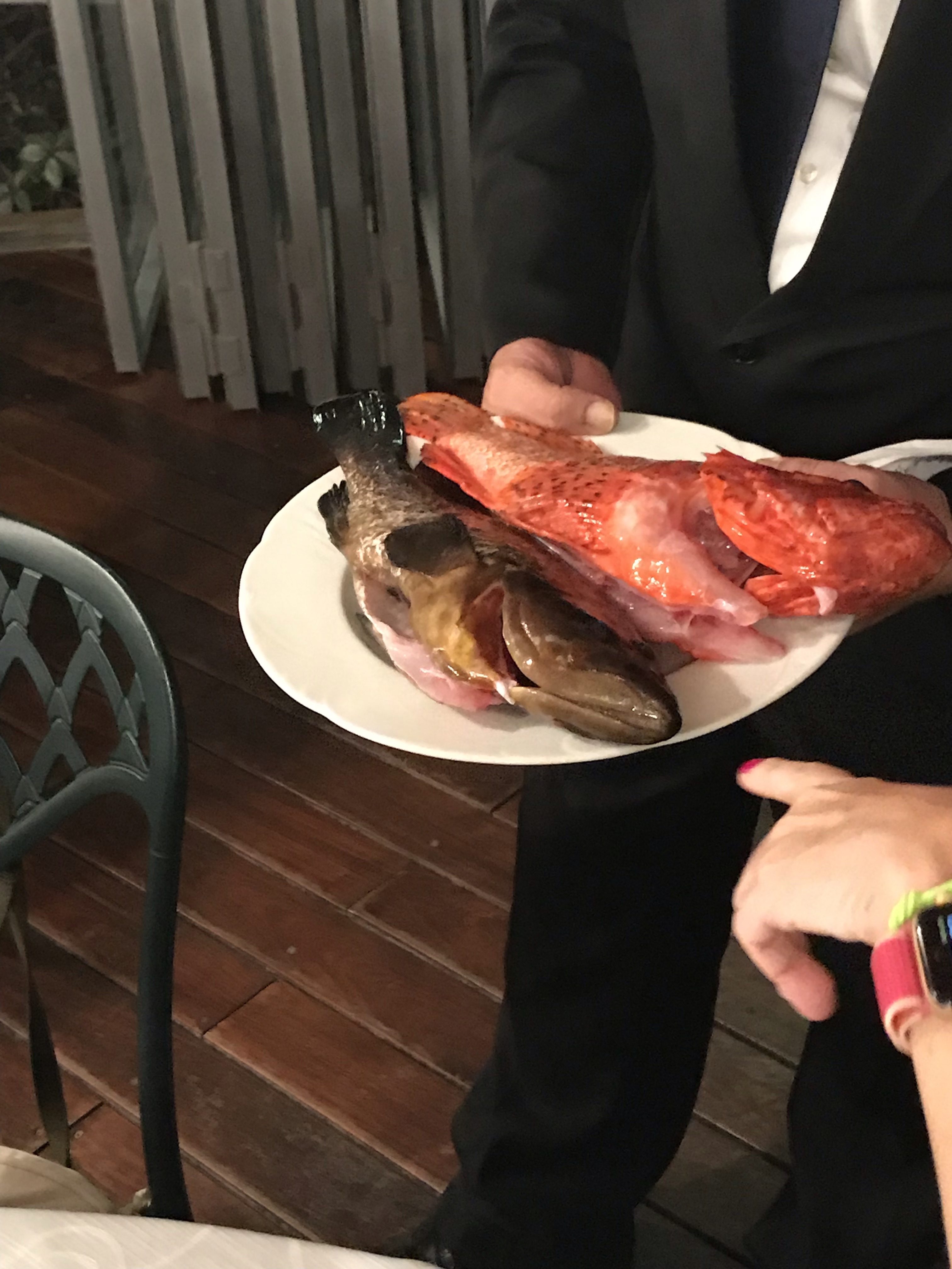
Dinners? To be done dockside… or more likely, a little further away. So, we took Danielle’s suggestion and went to a place up on a hill just outside town called Filipino’s. It looked like an expensive tourist trap, but it wasn’t. Everything was reasonable; fresh fish by the gram was a bit pricey but not outrageous, and it was fresh and well prepared.

Stefania pointing as she discussed fish options with the waiter.
Town church as seen from a viewing/firing port in the wall of the old fort.

DAY TWO: TO STROMBOLI

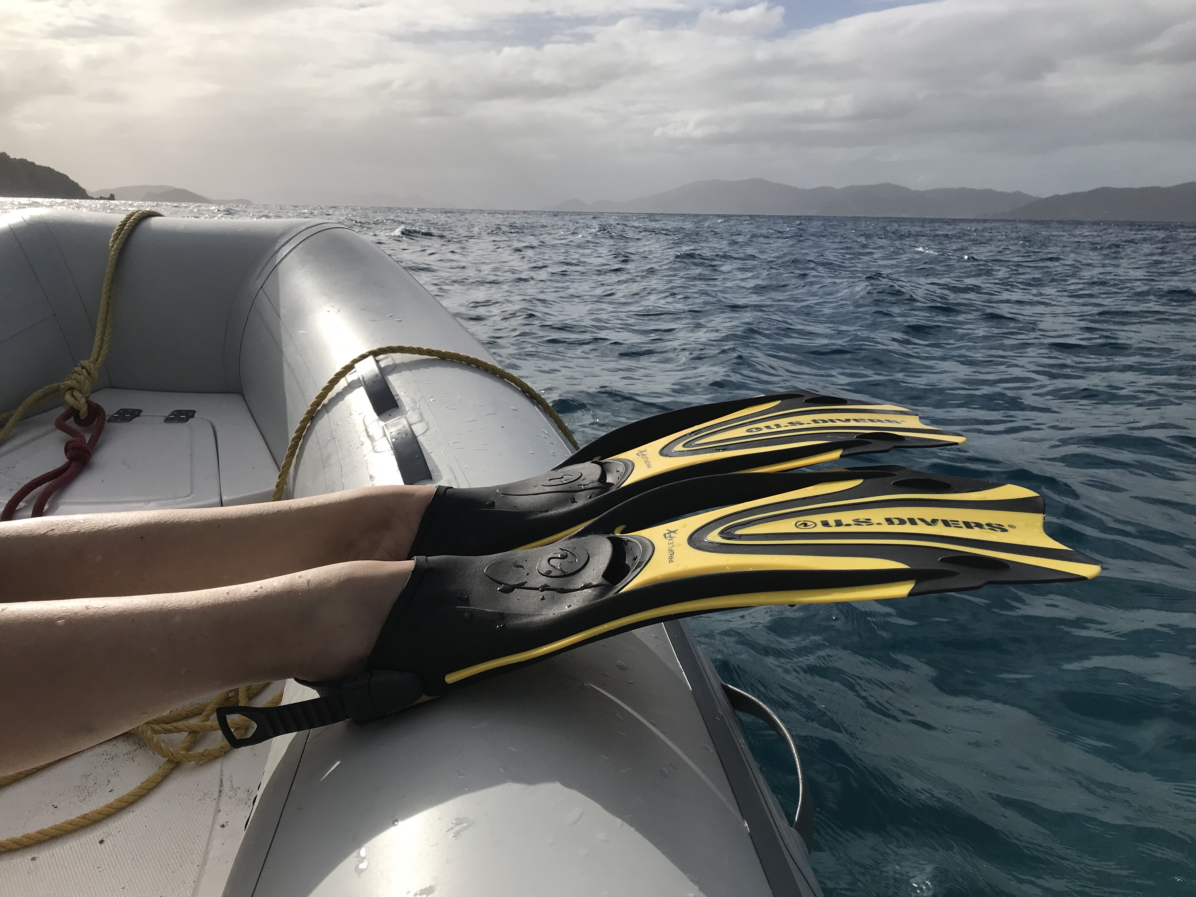
With a stop along the way to snorkel, of course! We hit the smaller islands off Panarea on the way. There’s a spot where gas is escaping from the seabed to the surface, and it’s super kewl to snorkel through the streams of bubbles. We found the suggested anchoring spot (very fussy and small area; highly weather dependent to do). Then, we found the bubble area, which is not visible easily from the surface if at all.

mountain looming behind cruising cat for scale
A cruising cat gives scale to the mountain rising from the sea here. Typical scene in the Isole Eolie.
Another typical scene: beauty in the eyes of the beholder, in this case the fotog who liked both the foreground and background here.

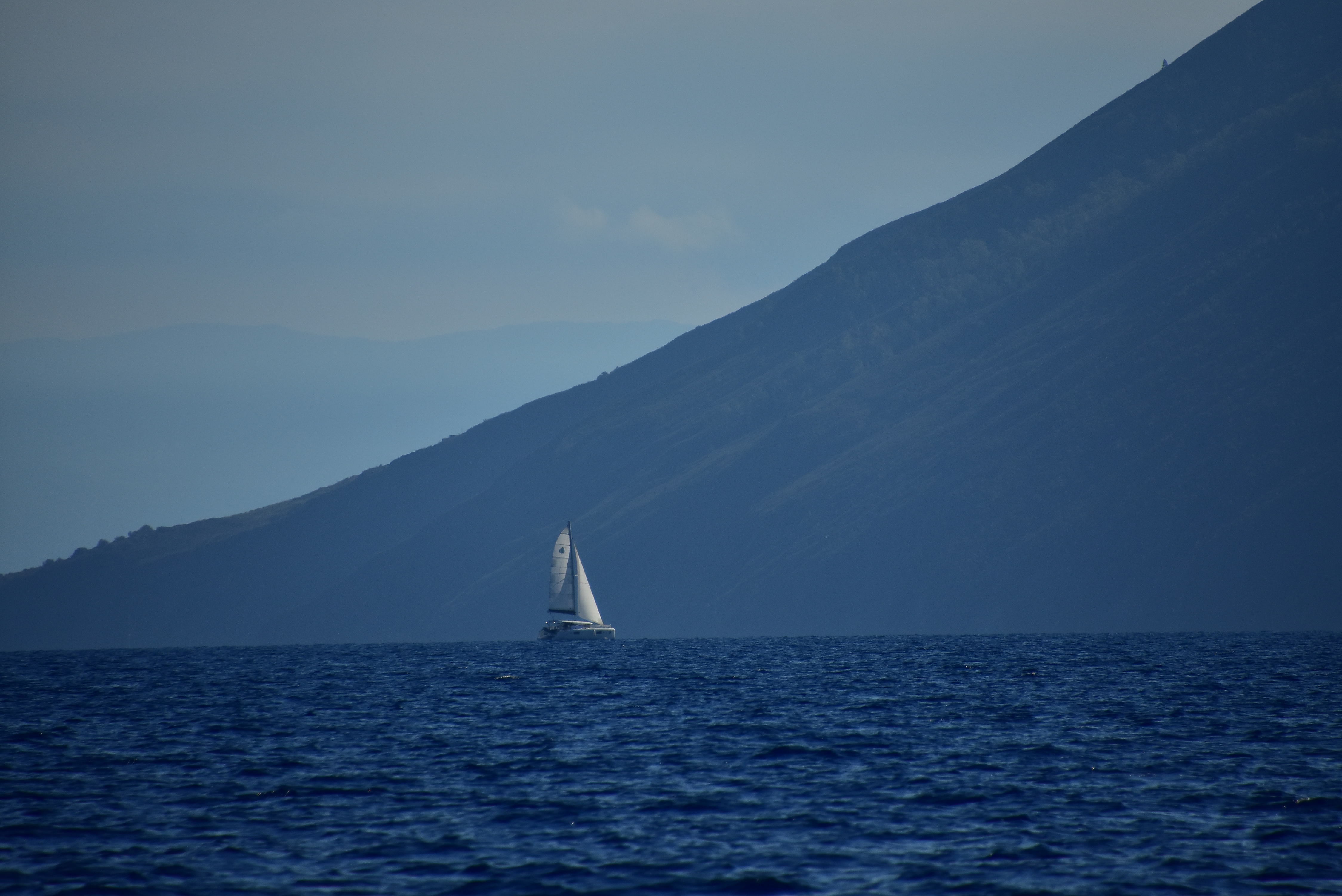
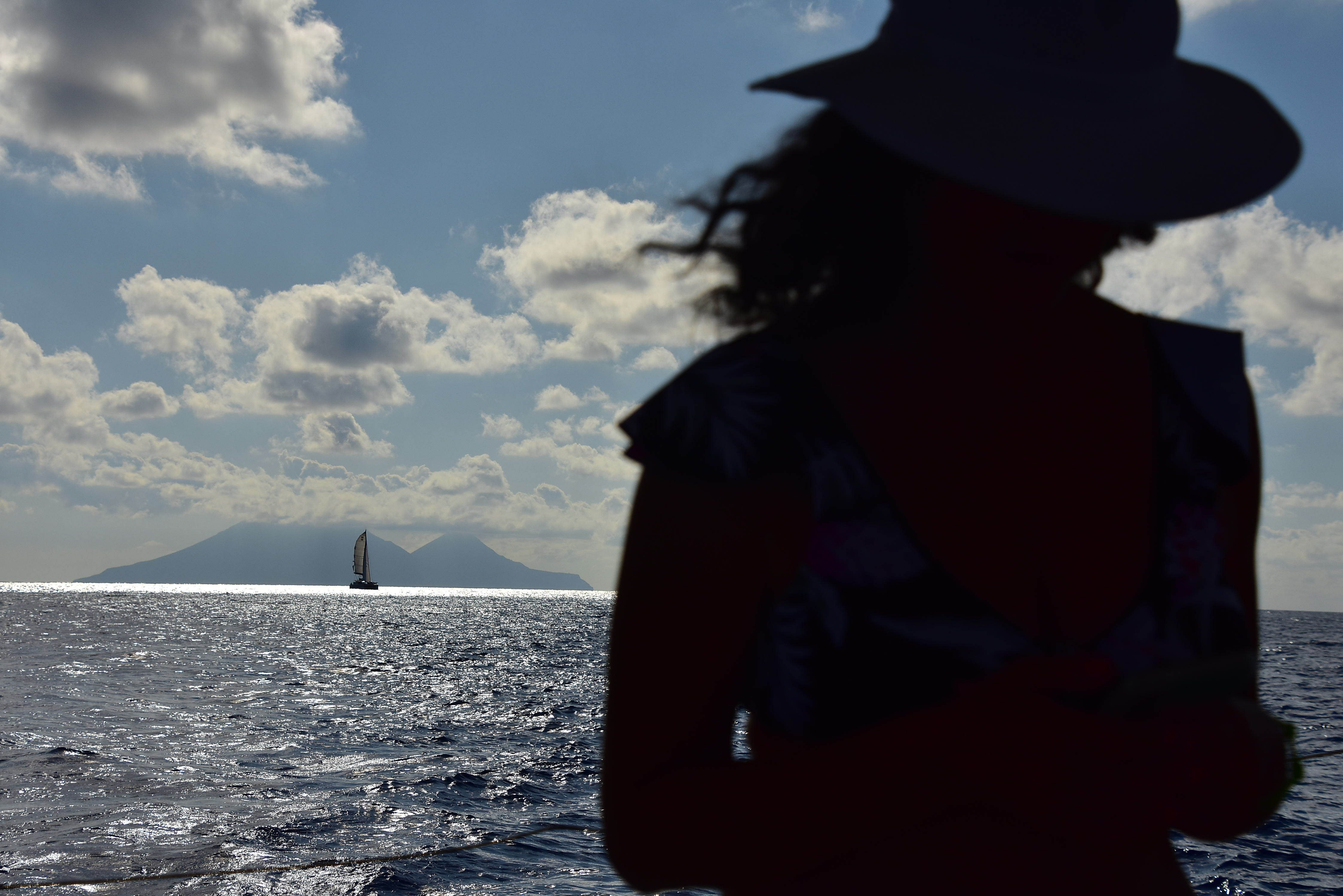
That, plus some bites, and we were off to Stromboli. We chose to motor to the snorkel spot to save time as, again, there was little wind. But we sailed all the way to Stromboli from there. How majestic and beautiful.

Celebration under sail. Good wine; good times.
Approaching Stromboli; several of us were mesmerized for prolonged periods.

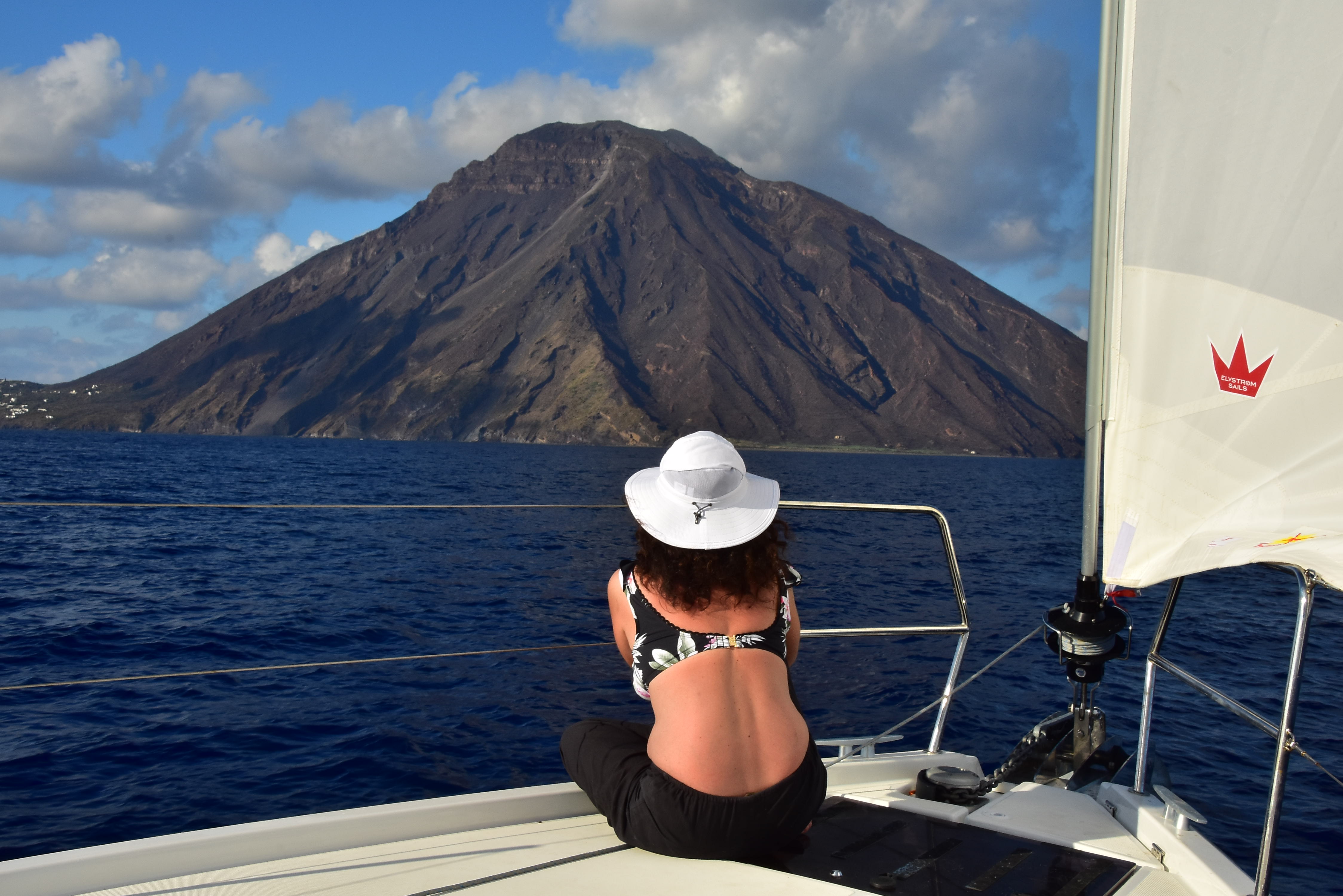
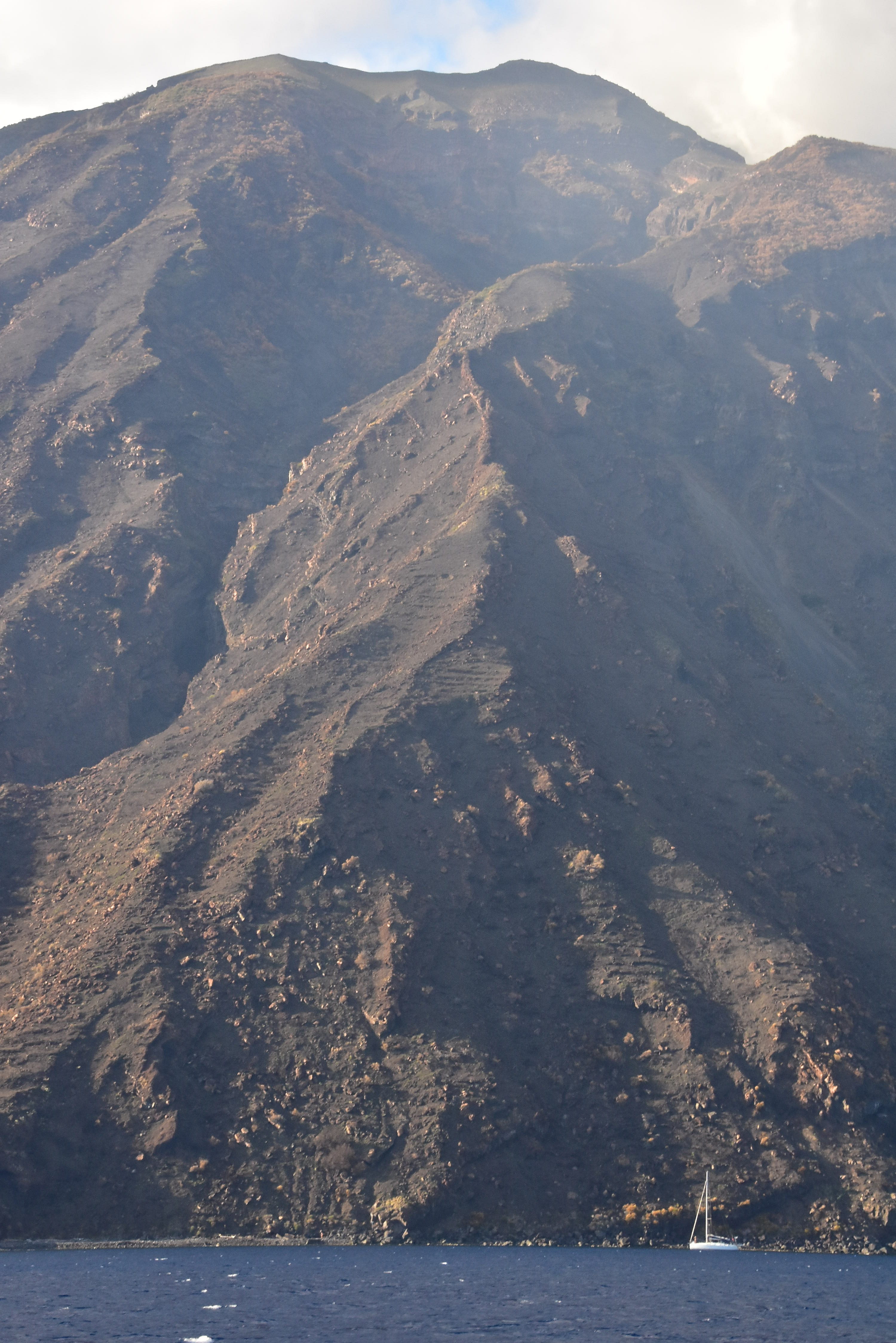
Stromboli is a constantly active volcano with two small toe-holds of civilization. There’s a mooring field with some room to free anchor off the northeast shore, where the larger village is (and were the ferries zoom in and out creating wakes except during the night).

More scenery under sail.

One must plan carefully and visit here only when the weather is favorable as it’s exposed from three cardinal directions. Totally worth it: stunning to see up close and personal.

At the southeast end of the island; wind picking up and shifting; cruising monohull for perspective.

Our resident Italiana spoke to the locals and scoped out a sweet spot for dinner, which took some exploring to find. It was worth it. Trattoria ai Gechi. (Think GEICO gecko with his mouth shut while folks eat.)

Doesn’t get any fresher than this: local fisherman frozen after tossing his pot. What’s gonna be in it? Whatever’s the fresh fish on the menu at the local restaurants in the village, and on the villager’s dining tables. Taken while we were moored at Stromboli.

That’s a wrap for this installment; we’ll do another one or two to share the rest of this trip with you! Ce vediamo, eh?

Back to the BVI!

“Lay it on me, Card- how is it down there?  Really.

Well, it’s like this…


We all know that there’s an elephant in the chat room.  It’s been hard to get a good sense of what it’s like down there post Irma and Maria.   So, we up and went, on the assumption that despite boat and building damage, the islands would still be there.

Our report?  Not half bad!  Better than that.  We recommend it.

Of course, that depends on what you’re looking for in a tropical sailing trip.  If you want an endless variety of bars, restaurants, and gift shops, go elsewhere.  If you want beautiful islands, healthy reefs, and an abundance of fish to gape at while snorkeling, a representative sample of shoreside fun, and some well deserved tranquility, then head on down or join us on one of our trips.

The hand that steers the boat is… well, the hand that steers the boat. Balance it correctly, and only one hand is needed! 20-25 knots in Sir Francis Drake Channel with double reefed main and partial reef in genoa-jib.

Islands: what’s good and what isn’t

Most islands in the British Virgin Islands were impacted by the hurricane.  Some did quite well and it was not an issue for tuning up for the tourist season.  Others had extensive shoreside damage and the facilities (restaurants/marinas) were basically wiped out.  These areas are under reconstruction, and will be restored, but some have a way to go.

A-Z, to the extent we could ever bother to spell while down there…


Anegada

We didn’t go this time around due to a short trip and rough weather for more than half of it.  However, we’ve heard all along that Anegada fared well in the storm and was good to go.  Once we were down there for our skippers meeting at Moorings/Sunsail, this was confirmed.  The Anegada Reef Hotel and many other restaurants on Anegada await you.


Beef Island/Trellis Bay

Pretty beat up.  Many boats still littered around the anchorage and shore, and as it’s connected to the mainland, it remains a busy and crowded anchorage.  There’s a market to get supplies which might be adding to the crowding.  This was from observation, briefing, and first hand reports from people who just went there.


Cane Garden Bay, Tortola

Didn’t go, but it has a restaurant open on the beach (supposedly a good one).  The satellite branch of Bobby’s Marketplace is not open yet.  As this anchorage is uncomfortable in any north ground swell unless you get a good mooring, either skip it or arrive very early with a Plan B in mind.  Having said that, they’re recommending it subject to the swell, and based on past experience, we agree.  It’s gorgeous.


Cooper Island

Restaurant not open yet.  Can sort of get ashore to walk on the beach a little; if you do, honor the signs for private property when you get close.  There are plenty of moorings here, but get there early.   This is the only anchorage in the area where anchoring is legally prohibited.  You will be chased out if you try it, so if you’re getting there past early afternoon, have a plan B.

Cooper Time! People beachcombing, seeing what’s SUP (Stand Up Paddleboard), snorkeling from the dinghy moorings off the large rock upcropping near top center, or just chllaxin aboard their charter yachts. Cooper is also a great place to just do nothing.

Snorkeling from the dinghy mooring at Cistern was above average for the location with plenty of fish.  (A certain secret spot where a VERY large barracuda liked to hang was all but destroyed so didn’t go looking for trouble.  To this day, dear friends/clients argue with each other and me as to whether this was actually a shark.  It wasn’t.)


Jost Van Dyke

Here’s your nightlife.  Most places on the island are up and running, including Foxy’s in Great Harbor, Sydney’s and Harris’ in Little Harbor, and the Soggy Dollar Bare in White Bay.  One can dock up to refill water tanks in Great Harbor.  Foxy’s Taboo at Diamond Cay (near Little Jost) is not open yet.

There are some moorings in each harbor, although traditionally, one expects to anchor at Jost due to the volume.


Marina Cay

Open this one up! It’s a Pano – must see it full sized and scroll in both directions.  Click once for a new window and again to really expand it.  We had the anchorage at Marina Cay to ourselves at around noon. Very tranquil.  

Gone.  The island is still there, of course, and anything concrete and steel remains.  The fuel and water dock, English phone booth, restaurants and bars are gone.  The island is off limits and (fairly) strictly enforced.  That makes it nice and quiet!  Get there early, get a mooring directly in the lee of the island (protected from the prevailing wind), and enjoy a nice quiet night.

Snorkeling at the Coral Gardens was amazing.  It’s always good, but we enjoyed something different this time.  Schools of parrot fish were behaving a lot like predator gamefish, snapping at floating weeds at and just below the surface!  We’ve never seen them more than a few foot off the bottom, cruising around or nibbling at coral.  Their were several varieties in attendance, but the ones schooling were fairly colorless with gray/black highlights.  There were rainbows and other color varieties around as well.


Norman Island

The Bight, or Pirates Bight, is a large anchorage that always has room for more boats, and a little more now that the Willy T (William T Thornton, a large sailing vessel semi-permanently moored in the Bight), is semi-permanently wrecked ashore. Sad.  Benefit?  That was a LOUD boat, especially on Friday and Saturday nights.  So, much quieter now until if/when they replace it.

Rain squalls have their rewards! Double rainbow looking west toward St. John from the Bight at Norman Island.

The restaurant is supposed to be open but we didn’t go ashore to investigate.  Snorkeling along the walls at the Caves, around the corner from the anchorage, was average to slightly above for this spot (which is excellent if you do it right).


North Sound (Gorda Sound), Virgin Gorda

Mostly gone.  This area’s facilities were mostly wiped out.  One can anchor or moor in many places, of course, and enjoy the tranquility and the reefs for snorkeling.

The one facility open in the Sound is Leverick Bay, and the Pussers (eh) restaurant is open.  I don’t remember if water was available at Leverick to top off tanks, but one can check before planning on it.


Peter Island

Looking roughly south from the east headland of Great Harbor. The boats in the background are in the back of the bay where there’s a bit of a pebbly beach. They were getting more wind/gusts (expand the pic to see the whitecaps), so we opted for shiftier winds with less velocity and lighter gusts, plus snorkeling off the boat.

No facilities open yet ashore.  Who needs it… Peter Island had an expensive and snotty facility which, if memory serves, required a jacket of gentlemen for dinner.  So NOT going down there for that.  The allure of Peter, as we see it, is that the harbors have nothing.  Just protected anchorages and scenic tranquility.  We anchored along the east wall of Great Harbor and loved it.  Good snorkel trip along the rip rap on the bottom (which had been there forever).  Not a coral spot, but lots of fish as they love this kind of structure.  Not bad for jumping off the back of the boat!

At anchor, pointing roughly south west at other yachts in Great Harbor. The black bow of one mega private sailing yacht is on far right.


Spanish Town, Virgin Gorda

Marina is open.  This is very enclosed with slips.  There are also a few moorings outside, and an area where one can anchor and dinghy in if it’s not rough.  No dockside market, and might not have any restaurant facilities running yet, but there are several in town within walking distance, which lets one see how the locals live.   Also, one can get a taxi from here to go to the Baths.  If it’s a little lumpy in the harbors due to weather conditions, and people need a break, this is your spot.  Flat calm, plus you can step off and walk around on solid ground.


Our trip revealed what we’d hoped it would:  a resilient populace living in a natural environment, both of whom roll with the proverbial punches of Poseidon, Neptune, etc.  If you want to see and explore the British Virgin Islands closer to the way they were before the charter industry really built up, now’s the time!  Expect to provision your boat more and dine ashore less.  If that’s the price to pay to play here, I’m more than happy to go back ASAP.

Apres-snorkel sunbathing (briefly of course). Cooper Island, BVI.